Near Mount Carmel Junction in Kane County, Utah — The American Mountains (Southwest)
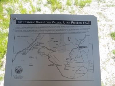
The Historic Dixie-Long Valley, Utah Pioneer Trail
Inscription.
Segments of the old Indian trails between St. George and Long Valley were used by Mormon pioneers to settle Long Valley in 1864 and for its resettlement in 1871 following Indian conflicts. The trail divided just east of present-day Colorado City, Arizona, the Elephant Trail took a northeasterly route while the alternate Cottonwood Canyon-Sand Ridge trail went more easterly before joining the Elephant Trail after it descended into Parunuweap Canyon/Long Valley. The desert trail, about 85 miles long, traversed deep sand, sandstone ledges and lava faults and was the primary transportation route, including mail and heavy freight, for half a century. It took four days for loaded wagons drawn by horse or ox teams to travel the distance.
Erected 2005 by Red Rock Chapter, Sons of Utah Pioneers. (Marker Number 120.)
Topics and series. This historical marker is listed in these topic lists: Exploration • Roads & Vehicles. In addition, it is included in the Sons of Utah Pioneers series list. A significant historical year for this entry is 1864.
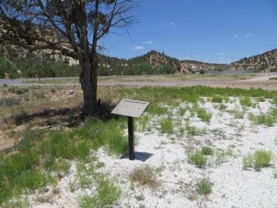
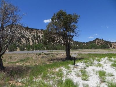
Location. 37° 12.945′ N, 112° 41.014′ W. Marker is near Mount Carmel Junction, Utah, in Kane County. Marker is on U.S. 89, 0.6 miles south of Utah Route 9, on the left when traveling south. Touch for map. Marker is at or near this postal address: 5000 State St, Mount Carmel UT 84755, United States of America. Touch for directions.
Other nearby markers. At least 8 other markers are within 9 miles of this marker, measured as the crow flies. Settlement of Long Valley and Mt. Carmel / Dr. Priddy Meeks (approx. 2.1 miles away); Isaac Behunin (approx. 2.3 miles away); Cemetery at Orderville (approx. 4.7 miles away); United Order Industries (approx. 4.8 miles away); Old Rock Schoolhouse (approx. 4.9 miles away); Orderville Bell (approx. 4.9 miles away); Glendale (approx. 8˝ miles away); The Berry Family (approx. 8˝ miles away).
Credits. This page was last revised on December 6, 2020. It was originally submitted on June 21, 2014, by Bill Kirchner of Tucson, Arizona. This page has been viewed 566 times since then and 8 times this year. Last updated on June 23, 2014, by Bill Kirchner of Tucson, Arizona. Photos: 1, 2, 3. submitted on June 21, 2014, by Bill Kirchner of Tucson, Arizona. • Syd Whittle was the editor who published this page.


