Near Tropic in Garfield County, Utah — The American Mountains (Southwest)
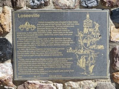
Loseeville
The first permanent settlers came in 1886. Because there was another Clifton in the state, the name of the town was changed to Loseeville after early settler Isaac H. Losee. Church meetings and a school were started for the twenty or more families who made Loseeville their home.
In 1891, the Clifton Irrigation Company was organized to regulate the use of Pine Creek and Henderson Canyon water. Within ten years the unreliable water supply and drought forced the people to abandon the town.
Today, only a few old buildings and this small cemetery remain. The picturesque spot north of this marker contains several unidentified and seven identified graves with the earliest dated in 1889 the seven are: Isadora Allen, Elizabeth Richards, Thomas Elwin Smith, Isaac Huff Losee, Sarah Gilbert Losee, Eliza Jane Losee Cox, John G. Losee.
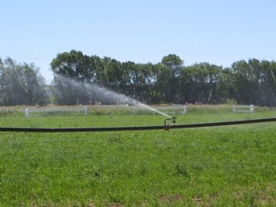
Productive farms in the valley are now irrigated with water from East Fork and Henderson Canyon.
Erected 1994 by Pahreah Camp, Daughters of Utah Pioneers. (Marker Number 477.)
Topics and series. This historical marker is listed in this topic list: Settlements & Settlers. In addition, it is included in the Daughters of Utah Pioneers series list. A significant historical year for this entry is 1876.
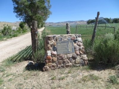
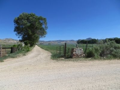
Location. 37° 37.367′ N, 112° 2.836′ W. Marker is near Tropic, Utah, in Garfield County. Marker is on East Center Street, 2.2 miles east of Main Street, on the left when traveling east. Touch for map. Marker is in this post office area: Tropic UT 84776, United States of America. Touch for directions.
Other nearby markers. At least 8 other markers are within 7 miles of this marker, measured as the crow flies. Tropic Pioneers (approx. 2.1 miles away); Stories of Promise Rock (approx. 4˝ miles away); Minerals in the Mesas (approx. 4˝ miles away); Bryce Amphitheater (approx. 6˝ miles away); Post-War Service Station (approx. 6.6 miles away); Wheeling through the Years (approx. 6.6 miles away); Streetscape (approx. 6.6 miles away); Bryce Canyon Lodge (approx. 6.6 miles away).
Credits. This page was last revised on June 16, 2016. It was originally submitted on June 23, 2014, by Bill Kirchner of Tucson, Arizona. This page has been viewed 577 times since then and 40 times this year. Photos: 1, 2, 3, 4. submitted on June 23, 2014, by Bill Kirchner of Tucson, Arizona. • Syd Whittle was the editor who published this page.


