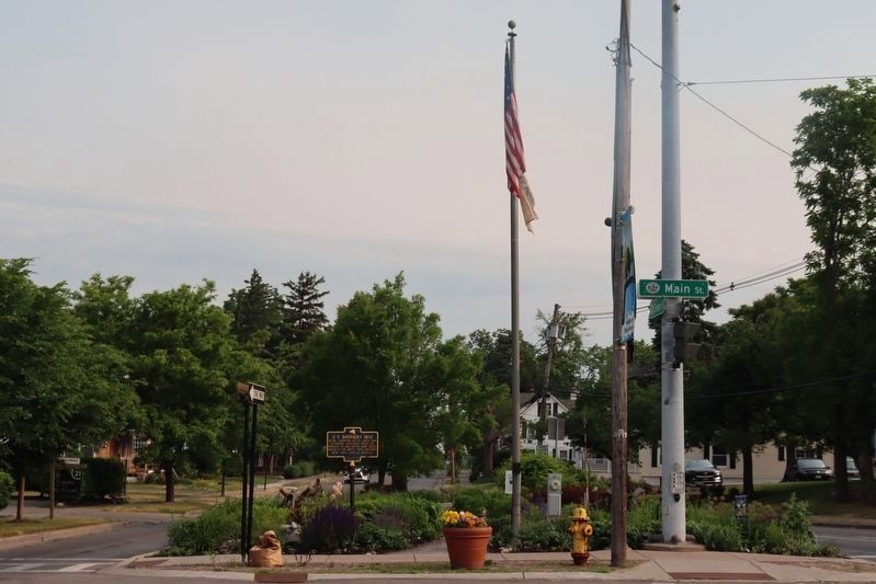
Williamsville in Erie County, New York — The American Northeast (Mid-Atlantic)
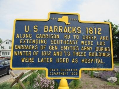
U. S. Barracks 1812
Erected 1939 by State Education Department.
Topics. This historical marker is listed in this topic list: War of 1812. A significant historical year for this entry is 1812.
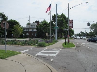
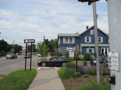
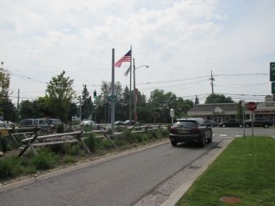
Location. 42° 57.845′ N, 78° 44.298′ W. Marker is in Williamsville, New York, in Erie County. Marker is at the intersection of Main Street (New York State Route 5) and Evans Street, on the left when traveling east on Main Street. Marker is on a tight triangular median of Evans Street at a traffic light and at the intersection of Main Street (NY 5). Garrison Road, as referred to on the marker, begins southward at the traffic light. The marker face is parallel with Main Street. Touch for map. Marker is in this post office area: Buffalo NY 14221, United States of America. Touch for directions.
Other nearby markers. At least 8 other markers are within 3 miles of this marker, measured as the crow flies. Williamsville Christian Church (approx. 0.2 miles away); Williamsville Water Mill (approx. 0.3 miles away); SS. Peter & Paul Church (approx. 0.6 miles away); Former Saint Mary of the Angels (approx. ¾ mile away); War of 1812 - 150 yrs - 1962 (approx. 1.2 miles away); War of 1812 Cemetery (approx. 1.2 miles away); Garrison Cemetery (approx. 1.2 miles away); In Memory of the Fifteen Children (approx. 2.7 miles away). Touch for a list and map of all markers in Williamsville.
More about this marker. The creek referred to on the marker is Ellicott Creek.
Credits. This page was last revised on June 27, 2023. It was originally submitted on June 26, 2014, by Anton Schwarzmueller of Wilson, New York. This page has been viewed 671 times since then and 57 times this year. Photos: 1, 2, 3, 4. submitted on June 26, 2014, by Anton Schwarzmueller of Wilson, New York. 5. submitted on June 25, 2023, by Trevor L Whited of Kokomo, Indiana. • Bill Pfingsten was the editor who published this page.
