Gunnison in Sanpete County, Utah — The American Mountains (Southwest)
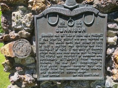
Gunnison
Erected 1947 by Camp Gunnison, Daughters of Utah Pioneers. (Marker Number 110.)
Topics and series. This historical marker is listed in these topic lists: Forts and Castles • Settlements & Settlers. In addition, it is included in the Daughters of Utah Pioneers series list. A significant historical year for this entry is 1859.
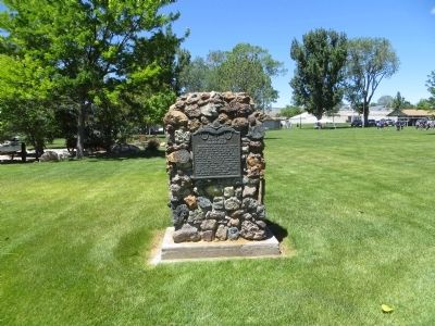
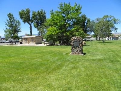
Location. 39° 9.537′ N, 111° 49.112′ W. Marker is in Gunnison, Utah, in Sanpete County. Marker is on North Main Street north of 200 North Street, on the left when traveling north. Marker is in city park. Touch for map. Marker is in this post office area: Gunnison UT 84634, United States of America. Touch for directions.
Other nearby markers. At least 8 other markers are within 5 miles of this marker, measured as the crow flies. The Colonists of Clarion (approx. 0.3 miles away); “Back to the Soil” (approx. 0.3 miles away); Life on the Land (approx. 0.3 miles away); Casino / Star Theatre (approx. 0.3 miles away); First Public Buildings (approx. 2.6 miles away); Centerfield (approx. 2.6 miles away); Warm Creek-Fayette (approx. 4.9 miles away); ZCMI Co-op Building (approx. 5 miles away). Touch for a list and map of all markers in Gunnison.
Credits. This page was last revised on June 16, 2016. It was originally submitted on June 29, 2014, by Bill Kirchner of Tucson, Arizona. This page has been viewed 471 times since then and 26 times this year. Photos: 1, 2, 3. submitted on June 29, 2014, by Bill Kirchner of Tucson, Arizona. • Syd Whittle was the editor who published this page.


