Eau Claire in Eau Claire County, Wisconsin — The American Midwest (Great Lakes)
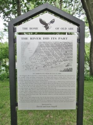
The River Did Its Part
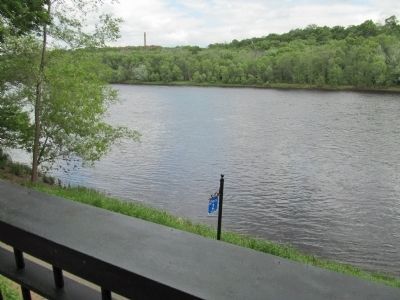
The Chippewa River acted like a natural highway in the late 1800s transporting logs downstream to the sawmills while providing transportation for loggers and business people alike. From this very location, one would see numerous steamboats such as the Clyde, Chippewa and Minnietta, while nearby sawmills collected pine logs cut in the northern forests.
In 1857, Adin Randall, Daniel Shaw, Orrin Ingram and others dug a 1,200 foot long canal (located just to the right of this location) connecting the Chippewa River and Half Moon Lake to funnel logs into the lake. To direct the logs into the canal, they placed a series of timbers and planks chained together (called a boom) out in the river and anchored it at shore. The boom had to withstand heavy logs and the powerful currents, yet open easily for steamboats and other river craft.
In 1861, James Allan and Levi Pond of Eau Claire invented the sheer boom which had a series of fins or rudders which could be angled in such a way that the power of the river current would hold the boom in place. When a steamboat wanted to pass, one man could easily reel in the fins, whereupon the current immediately pushed the boom aside. The invention worked so well that lumbermen around the world soon copied the system.
Pilings such as those placed in the river for the sheer boom to help direct the logs downstream to sawmills can still be seen today in many places along the shoreline when the river level is low.
After the decline in lumbering, this site became a popular recreation area between 1940 and 1975 and was known as Kaiser Field. Ball games, tournaments and picnics replaced sawmills and stacked lumber.
David and Joan Angell
Erected by the City of Eau Claire Landmark Commission. (Marker Number 3.)
Topics. This historical marker is listed in these topic lists: Industry & Commerce • Man-Made Features • Waterways & Vessels. A significant historical year for this entry is 1857.
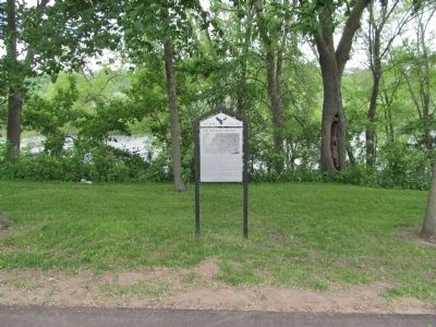
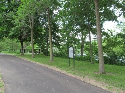
Location. 44° 47.985′ N, 91° 31.131′ W. Marker is in Eau Claire, Wisconsin, in Eau Claire County. Marker can be reached from Tenth Avenue south of Menomonie Street. Marker is along the Chippewa River east of Hobbs Landing. Touch for map. Marker is at or near this postal address: 5 Tenth Avenue, Eau Claire WI 54703, United States of America. Touch for directions.
Other nearby markers. At least 8 other markers are within walking distance of this marker. Kaiser Lumber Company Office (about 800 feet away, measured in a direct line); Daniel Shaw Lumber Company (approx. 0.4 miles away); Ottawa House (approx. 0.4 miles away); Industry on Half Moon Lake (approx. 0.4 miles away); Early Exploration and Settlement (approx. 0.4 miles away); Adin Randall (approx. 0.4 miles away); Water Street (approx. half a mile away); 2719 (approx. half a mile away). Touch for a list and map of all markers in Eau Claire.
More about this marker. caption: 1872 Bird's Eye View of Eau Claire
Also see . . . The Dells Dam. (Submitted on June 29, 2014.)
Credits. This page was last revised on October 14, 2021. It was originally submitted on June 29, 2014, by Keith L of Wisconsin Rapids, Wisconsin. This page has been viewed 511 times since then and 33 times this year. Photos: 1, 2, 3, 4. submitted on June 29, 2014, by Keith L of Wisconsin Rapids, Wisconsin.


