Linden in Perry County, Tennessee — The American South (East South Central)
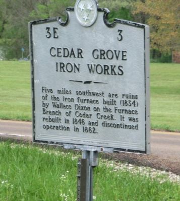
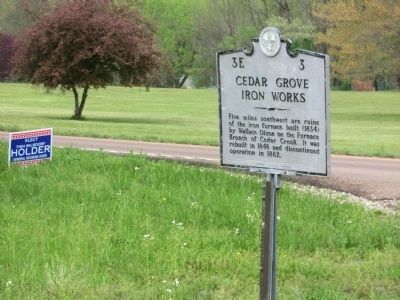
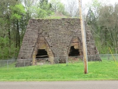
Cedar Grove Iron Works
Erected by Tennessee Historical Commission. (Marker Number 3E 3.)
Topics and series. This historical marker is listed in these topic lists: Industry & Commerce • War, US Civil. In addition, it is included in the Tennessee Historical Commission series list. A significant historical year for this entry is 1846.
Location. 35° 37.218′ N, 87° 55.386′ W. Marker is in Linden, Tennessee, in Perry County. Marker is at the intersection of Buckfork Road and U.S. 412, on the right when traveling south on Buckfork Road. Touch for map. Marker is in this post office area: Linden TN 37096, United States of America. Touch for directions.
Other nearby markers. At least 8 other markers are within 8 miles of this marker, measured as the crow flies. Cedar Grove Iron Furnace (approx. 4.8 miles away); a different marker also named Cedar Grove Iron Furnace (approx. 4.8 miles away); Razing the Courthouse (approx. 4.8 miles away); James Dickson House (approx. 5.2 miles away); Amphibious Attack on Linden (approx. 5˝ miles away); In Memoriam (approx. 5.8 miles away); Perryville First County Seat of Perry County (approx. 6.8 miles away); Hufstedler Grave House (approx. 7.3 miles away). Touch for a list and map of all markers in Linden.
Credits. This page was last revised on January 20, 2020. It was originally submitted on July 2, 2014, by Don Morfe of Baltimore, Maryland. This page has been viewed 555 times since then and 15 times this year. Photos: 1, 2, 3. submitted on July 2, 2014, by Don Morfe of Baltimore, Maryland. • Bernard Fisher was the editor who published this page.


