Near Spotsylvania Courthouse in Spotsylvania County, Virginia — The American South (Mid-Atlantic)
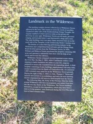
Landmark in the Wilderness
The demise of a once-thriving gold mining industry in the Wilderness and competition from railroads and the Orange Plank Road diverted patrons from the Wilderness Tavern. In 1859, William and Rebecca Simms purchased the property containing 200 acres and operated a substantial farm here with the help of ten slaves and several free laborers.
Wilderness Tavern witnessed several important events during the Civil War. On May 3, 1863, while Confederate soldiers were aligning in battle formation two miles to your left, surgeons prepared to receive the wounded from the impending attack. A field hospital, consisting of area buildings supplemented with army tents, treated wounded from the Battle of Chancellorsville. An estimated 3,000 wounded were cared for on the Wilderness Tavern grounds. During the night of May 2, 1863, Lt. Gen. Thomas J. "Stonewall" Jackson arrived here in an ambulance and early the next morning doctors amputated his left arm at a field hospital near the Tavern.
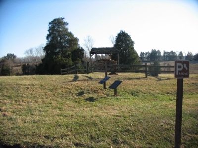
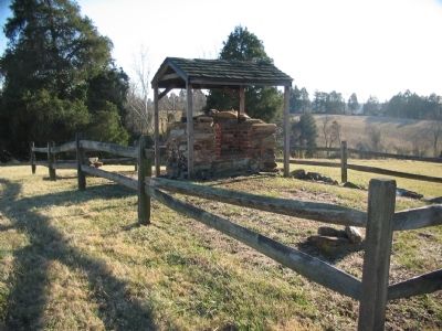
The following May, the Army of the Potomac filled the fields around Wilderness with their encampments and rushed from here into the two-day Battle of the Wilderness. The Tavern Buildings themselves, except for this dependency which may have been a store or living quarters, were destroyed during the Civil War and no trace of them remain today.
Topics. This historical marker is listed in this topic list: War, US Civil. A significant historical month for this entry is May 1786.
Location. 38° 19.48′ N, 77° 43.372′ W. Marker is near Spotsylvania Courthouse, Virginia, in Spotsylvania County. Marker is on Germanna Highway (State Highway 3), on the right when traveling east. Touch for map. Marker is at or near this postal address: 11310 Lyons Ln, Spotsylvania VA 22553, United States of America. Touch for directions.
Other nearby markers. At least 8 other markers are within walking distance of this marker. Old Wilderness Tavern (here, next to this marker); Jackson’s Amputation (about 400 feet away, measured in a direct line); Orange County / Spotsylvania County (approx. 0.3 miles away); A Midnight Amputation (approx. 0.3 miles away); The Campaign of 1781 (approx. half a mile away); The Yard: A Busy Place (approx. 0.6 miles away); A Busy Place (approx. 0.6 miles away); A Military Scene (approx. 0.6 miles away). Touch for a list and map of all markers in Spotsylvania Courthouse.
Also see . . . Wilderness Battlefield. National Park Service site. (Submitted on May 1, 2008, by Craig Swain of Leesburg, Virginia.)
Credits. This page was last revised on July 9, 2021. It was originally submitted on May 1, 2008, by Craig Swain of Leesburg, Virginia. This page has been viewed 1,479 times since then and 40 times this year. Photos: 1, 2, 3. submitted on May 1, 2008, by Craig Swain of Leesburg, Virginia.


