Near Marysville in Union County, Ohio — The American Midwest (Great Lakes)
War of 1812 Blockhouse
A Frontier Outpost in Union County , Ohio
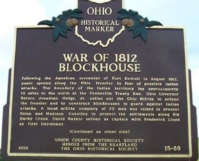
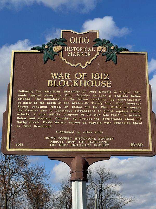
Following the American surrender of Fort Detroit in August 1812 panic spread along the Ohio frontier in fear of possible Indian attacks. The boundary of the Indian territory lay approximately 14 miles to the north at the Greenville Treaty line. Ohio Governor Return Jonathan Meigs, Jr. called out the Ohio Militia to defend the frontier and to construct blockhouses to guard against Indian attacks. A local militia company of 70 men was raised in present Union and Madison counties to protect the settlements along Big Darby Creek. David Watson served as captain with Frederick Lloyd as first lieutenant.
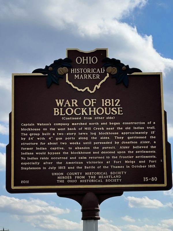
Captain Watson’s company marched north and began construction of a blockhouse on the west bank of Mill Creek near the old Indian trail. The group built a two-story hewn log blockhouse approximately 15’ by 24’ with 4” gun ports along the sides. They garrisoned the structure for about two weeks until persuaded by Jonathon Alder, a former Indian captive, to abandon the pursuit. Alder believed the Indians would bypass the blockhouse and descend upon the settlements. No Indian raids occurred and calm returned to the frontier settlements, especially after the American victories at Fort Meigs and Fort Stephenson in July 1813 and the Battle of the Thames in October 1813.
Erected 2012 by Union County Historical Society, Heroes From the Heartland, The Ohio Historical Society. (Marker Number 15- 80.)
Topics and series. This historical marker is listed in this topic list: War of 1812. In addition, it is included in the Ohio Historical Society / The Ohio History Connection series list. A significant historical month for this entry is July 1813.
Location. 40° 16.031′ N, 83° 23.828′ W. Marker is near Marysville, Ohio, in Union County. Marker is on Raymond Road (County Route 191) one mile north of U.S. 33, on the left when traveling north. approx. 1 mile north of US 33 overpass Raymond Rd runs north off West Fifth Str in Marysville, at Oakdale Cem. Touch for map. Marker is at or near this postal address: 18257 Raymond Rd, Marysville OH 43040, United States of America. Touch for directions.
Other nearby markers. At least 8 other markers are within 2 miles of this marker, measured as the crow flies. Site of Union County's Block House (within shouting distance of this marker); Amrine Settlement / Amrine Cemetery (approx. 1.2 miles away); Amerine Veterans Memorial (approx. 1.2 miles away); AMVETS Post 28 Veterans Memorial (approx. 1.6 miles away); DAR Revolutionary Veterans Memorial (approx. 1.6 miles away); Veterans of Foreign Wars War Memorial (approx. 1.6 miles away); Spanish American Veterans Memorial (approx. 1.6 miles away); Soldier's Circle (approx. 1.7 miles away). Touch for a list and map of all markers in Marysville.
More about this marker. Text on adjacent monument
Site of Union County’s Blockhouse
erected 1812 in defense of settlers
against Shawnee Indians
on Abraham Amrine acres
of the original John Overton land grant
placed by Hannah Emerson Dustin chapter
D.A.R.
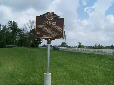
Regarding War of 1812 Blockhouse. There are two markers at this site, both describe the War of 1812 Blockhouse. One, on the west side of Raymond Road, is an Ohio Historical Society Bronze marker, #15- 80. The other, on the east side is a monument, with a bronze plaque, by the DAR. I would guess it is from the 1930's
Credits. This page was last revised on November 2, 2023. It was originally submitted on July 8, 2014, by Rev. Ronald Irick of West Liberty, Ohio. This page has been viewed 1,671 times since then and 79 times this year. Photos: 1. submitted on July 8, 2014, by Rev. Ronald Irick of West Liberty, Ohio. 2, 3. submitted on October 31, 2023, by Laura Ashley Cooper of Jarrettsville, Md, USA. 4. submitted on July 8, 2014, by Rev. Ronald Irick of West Liberty, Ohio. • Bill Pfingsten was the editor who published this page.


