Fountain Green in Sanpete County, Utah — The American Mountains (Southwest)
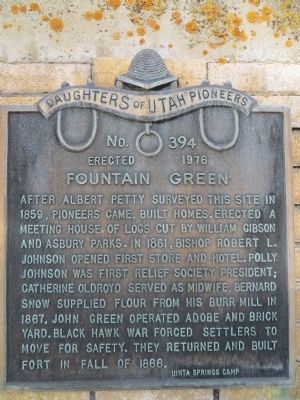
Fountain Green
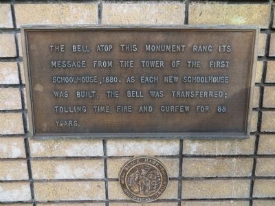
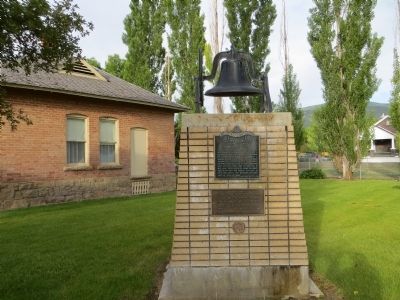
Plaque below: The bell atop this monument rang its message from the tower of the first schoolhouse, 1880. As each new schoolhouse was built, the bell was transferred; tolling time, fire and curfew for 88 years.
Erected 1976 by Uinta Springs Camp, Daughters of Utah Pioneers. (Marker Number 394.)
Topics and series. This historical marker is listed in these topic lists: Settlements & Settlers • Wars, US Indian. In addition, it is included in the Daughters of Utah Pioneers series list. A significant historical year for this entry is 1859.
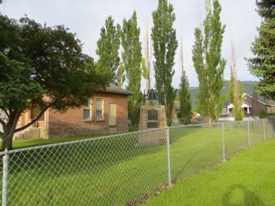
Location. 39° 37.689′ N, 111° 38.085′ W. Marker is in Fountain Green, Utah, in Sanpete County. Marker is at the intersection of South State Street and Center Street, on the right when traveling south on South State Street. Marker is on the southwest corner. Touch for map. Marker is in this post office area: Fountain Green UT 84632, United States of America. Touch for directions.
Other nearby markers. At least 8 other markers are within 11 miles of this marker, measured as the crow flies. Lewis Lund (a few steps from this marker); Uinta Springs Settlement (approx. 0.3 miles away); Salt Creek Canyon Massacre (approx. 6˝ miles away); ZCMI Building (approx. 7.6 miles away); Moroni Fort and Bastion (approx. 7.6 miles away); Fairview Pioneer Cemetery (approx. 9.7 miles away); First Coal Mine in Utah (approx. 9.7 miles away); Settlement of Fairview (approx. 10.4 miles away). Touch for a list and map of all markers in Fountain Green.
Credits. This page was last revised on June 16, 2016. It was originally submitted on July 8, 2014, by Bill Kirchner of Tucson, Arizona. This page has been viewed 536 times since then and 32 times this year. Photos: 1, 2, 3, 4. submitted on July 8, 2014, by Bill Kirchner of Tucson, Arizona. • Al Wolf was the editor who published this page.


