Bretton Woods in Carroll in Coos County, New Hampshire — The American Northeast (New England)
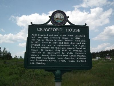
Crawford House
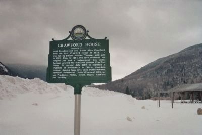
Abel Crawford and son, Ethan Allen Crawford, built the first Crawford House in 1828. It was run by Ethan's brother, Thomas, until sold in 1852. Fires in 1854 and 1859 destroyed the original inn and a replacement. Col. Cyrus Eastman erected the third and present Crawford House. It opened July 1859 to continue a tradition of hospitality to White Mountain visitors. Among them have been Daniel Webster, Nathaniel Hawthorne, John Greenleaf Whittier and Presidents Pierce, Grant, Hayes, Garfield and Harding.
Erected by NH Division of Historical Resources and the NH Department of Transportation. (Marker Number 087.)
Topics and series. This historical marker is listed in this topic list: Industry & Commerce. In addition, it is included in the Former U.S. Presidents: #14 Franklin Pierce, the Former U.S. Presidents: #18 Ulysses S. Grant, the Former U.S. Presidents: #19 Rutherford B. Hayes, the Former U.S. Presidents: #20 James A. Garfield, the Former U.S. Presidents: #29 Warren G. Harding, and the New Hampshire Historical Highway Markers series lists. A significant historical year for this entry is 1828.
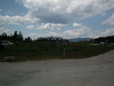
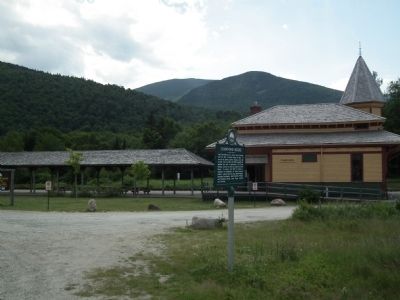
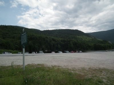
Location. 44° 13.083′ N, 71° 24.66′ W. Marker is in Carroll, New Hampshire, in Coos County. It is in Bretton Woods. Marker is on U.S. 302, 0.3 miles east of Mt Clinton Road, on the right when traveling east. The marker is located adjacent to Crawford Station, used for tourist train excursions by the Conway Scenic Railroad. The marker is across the road from Saco Lake, source of the Saco River. In winter, the marker is hidden by a 7-foot snowbank and the parking area next to Crawford Station is not plowed or accessible. Touch for map. Marker is in this post office area: Twin Mountain NH 03595, United States of America. Touch for directions.
Other nearby markers. At least 8 other markers are within 4 miles of this marker, measured as the crow flies. Crawford Depot (within shouting distance of this marker); Willey Boulders (approx. 2.6 miles away); Site of the Willey House (approx. 2.6 miles away); Mount Washington Hotel / Bretton Woods Monetary Conference (approx. 3.1 miles away); Crawford Notch (approx. 3.1 miles away); Mount Washington (approx. 3.1 miles away); The Mount Washington Hotel (approx. 3.1 miles away); Executive Councilor Raymond S. Burton (approx. 3.1 miles away). Touch for a list and map of all markers in Carroll.
More about this marker. The Appalachian Mountain Club's Highland Center is located near the marker and sits on the site of the old Crawford House.
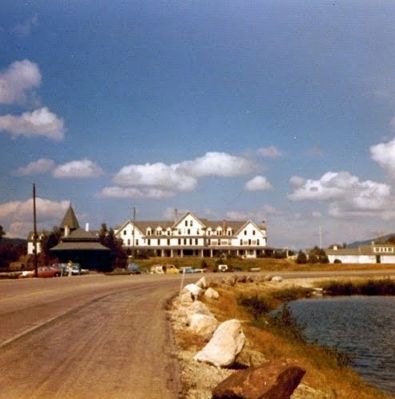
Regarding Crawford House. The Crawford House was closed in 1975. The hotel's contents were auctioned off in 1976 and the building was completely destroyed
by a fire (thought to be deliberately set) on November 20th, 1977.
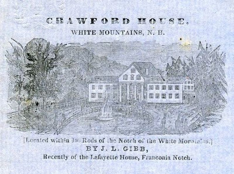
via White Mountain History, unknown
5. Crawford House
White Mountain History website entry
Click for more information.
Click for more information.
Credits. This page was last revised on February 16, 2023. It was originally submitted on July 10, 2011, by Kevin Craft of Bedford, Quebec. This page has been viewed 1,077 times since then and 54 times this year. Last updated on July 10, 2014, by Kevin Craft of Bedford, Quebec. Photos: 1, 2, 3, 4. submitted on July 10, 2011, by Kevin Craft of Bedford, Quebec. 5. submitted on July 8, 2021, by Larry Gertner of New York, New York. 6, 7. submitted on July 10, 2011, by Kevin Craft of Bedford, Quebec. • Bill Pfingsten was the editor who published this page.
