Near Fredericksburg in Spotsylvania County, Virginia — The American South (Mid-Atlantic)
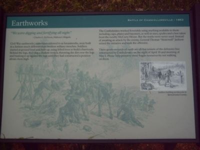
Earthworks
Battle of Chancellorsville - 1863
"We were digging and fortifying all night."
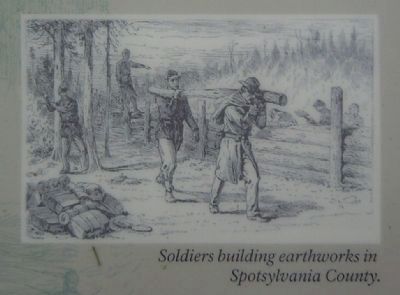
Civil War earthworks, sometimes referred to as breastworks, were built in a fashion much different than modern military trenches. Soldiers started at ground level and built up, using felled trees to build a barricade. Behind the logs, they dug a shallow trench, throwing the dirt over the logs and banking it up against the logs until they had constructed apposition about chest-high.
Confederates worked feverishly using anything available to them – including cups, plates and bayonets, as well as axes, spades and a hoe taken from the nearby McCarty House. But the works were never used. Instead of awaiting an attack by the enemy, General Thomas “Stonewall” Jackson seized the initiative and took the offensive.
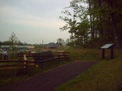
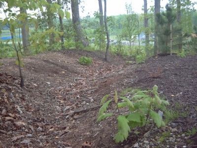
These gentle mounds of earth are all that remain of the defensive line constructed by Confederates on the night of April 30 and morning of May 1. Please help preserve these fragile resources by not walking on them.
Topics. This historical marker is listed in these topic lists: Man-Made Features • War, US Civil. A significant historical date for this entry is April 30, 1879.
Location. 38° 17.678′ N, 77° 34.314′ W. Marker is near Fredericksburg, Virginia, in Spotsylvania County. Marker is on Plank Road/Germanna Highway (Virginia Route 3) near Harrison Road. Touch for map. Marker is at or near this postal address: 5701 Plank Road, Fredericksburg VA 22407, United States of America. Touch for directions.
Other nearby markers. At least 8 other markers are within one mile of this marker, measured as the crow flies. McCarty Farm (about 400 feet away, measured in a direct line); Confederate Defense Turns to Offense (about 400 feet away); Roads Through the Battlefield (approx. 0.2 miles away); Opening of the Campaign (approx. 0.2 miles away); Spotswood’s Furnace (approx. 0.2 miles away); First Day at Chancellorsville (approx. 0.9 miles away); 11th United States Infantry (approx. one mile away); a different marker also named First Day at Chancellorsville (approx. one mile away). Touch for a list and map of all markers in Fredericksburg.
Regarding Earthworks. This marker is grouped with the markers along McLaws Drive, Furnace Road, Sickles Drive, East Jackson Trail, and others on the east side of the battlefield. See the First Days of the Battle of Chancellorsville Virtual Tour by Markers in the links section for a listing of related markers on the tour.
Also see . . .
1. Battle of Chancellorsville. National Parks Service site. (Submitted on May 2, 2008, by Craig Swain of Leesburg, Virginia.)
2. First Days of the Battle of Chancellorsville Virtual Tour by Markers. This virtual tour by markers covers action from May 1-3, 1863. (Submitted on May 2, 2008, by Craig Swain of Leesburg, Virginia.)
Credits. This page was last revised on February 2, 2023. It was originally submitted on May 1, 2008, by Kevin W. of Stafford, Virginia. This page has been viewed 1,675 times since then and 45 times this year. Photos: 1, 2, 3, 4. submitted on May 1, 2008, by Kevin W. of Stafford, Virginia. • Craig Swain was the editor who published this page.


