Tullahoma in Coffee County, Tennessee — The American South (East South Central)
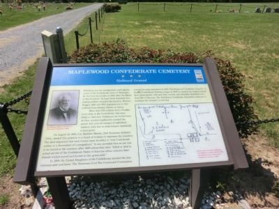
Maplewood Confederate Cemetery
Hallowed Ground
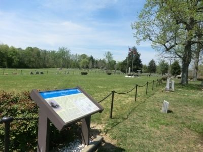
More than 500 soldiers from virtually every state in the Confederacy who were killed or died near Tullahoma are buried here. At first, wooden headboard marked the graves, but soon all vestiges of individual markers were lost in what became essentially a mass grave.
On August 10, 1889, Col. Matthew Martin, 23rd Tennessee Infantry (CSA), deeded this property to a board of trustees to maintain the cemetery. The deed stipulated that each trustee must be either be a “true Confederate soldier or a descendant of a sympathizer.” It also provided that no one was to be buried in the cemetery after 1889 unless they were “killed or died in actual service of the Confederate States of America whose remains their friends wished moved and buried in this grave-yard.
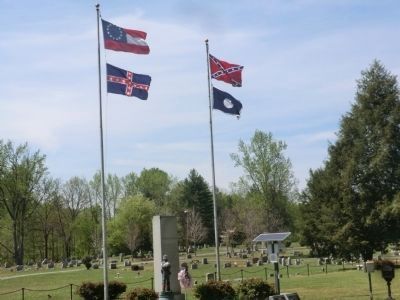
In 1900, the United Daughters of the Confederacy erected the iron entrance gate and fence. The Tennessee Civil War Centennial Commission erected the main monument in 1964. The Benjamin F. Cheatham Camp No. 72, Sons of Confederate Veterans, began in 1992 to research the soldiers buried here using muster rolls and other records and ultimately identified more than 380 of the men. The Tullahoma Confederate Association continues to maintain the cemetery to this day.
(captions)
(upper left) Col. Matthew Martin, Sketches of Prominent Tennesseans (1888)
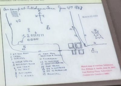
(lower right) Sketch map of wartime Tullahoma, Pvt. William A. Smith, June 18, 1863. Last Resting Place: Tullahoma’s Confederate Cemetery (1995)
Erected by Tennessee Civil War Trails.
Topics and series. This historical marker is listed in these topic lists: Cemeteries & Burial Sites • War, US Civil. In addition, it is included in the Tennessee Civil War Trails series list. A significant historical month for this entry is June 1849.
Location. 35° 20.938′ N, 86° 12.532′ W. Marker is in Tullahoma, Tennessee, in Coffee County. Marker can be reached from Maplewood Avenue, 0.3 miles south of West Coffee Street, on the right when traveling south. Touch for map. Marker is in this post office area: Tullahoma TN 37388, United States of America. Touch for directions.
Other nearby markers. At least 8 other markers are within walking distance of this marker. Confederate Memorial (within shouting distance of this marker); Confederate Cemetery 920 Maplewood Ave. (about 300 feet away, measured in a direct line); Isham G. Harris (approx. half a mile away); Confederate Cemetery (approx. half a mile away); Tullahoma Campaign (approx. half a mile away); a different marker also named Tullahoma Campaign (approx. half a mile away); a different marker also named Tullahoma Campaign (approx. 0.6 miles away); Army of Tennessee (approx. 0.6 miles away). Touch for a list and map of all markers in Tullahoma.
Credits. This page was last revised on June 16, 2016. It was originally submitted on July 13, 2014, by Don Morfe of Baltimore, Maryland. This page has been viewed 970 times since then and 45 times this year. Photos: 1, 2, 3, 4. submitted on July 13, 2014, by Don Morfe of Baltimore, Maryland. • Bernard Fisher was the editor who published this page.


