National Harbor in Fort Washington in Prince George's County, Maryland — The American Northeast (Mid-Atlantic)
Emancipation in Maryland
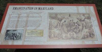
“That hereafter, in this State, there shall be neither slavery nor involuntary servitude, except in punishment of crime … and all persons held to service or labor as slaves, are hereby free.”
Though enslaved people in the states that seceded from the Union had been freed in 1863, the Lincoln Emancipation Proclamation allowed loyal states like Maryland to continue slavery. While many opposed emancipation in Maryland, when put to a public vote it passed. Most slaveholders would not be compensated, as they had demanded, for the resulting loss of their slaves. The first actions of the newly freed as they began to build lives in freedom were to find and reunite with lost family members who had been sold or who had escaped from slavery.
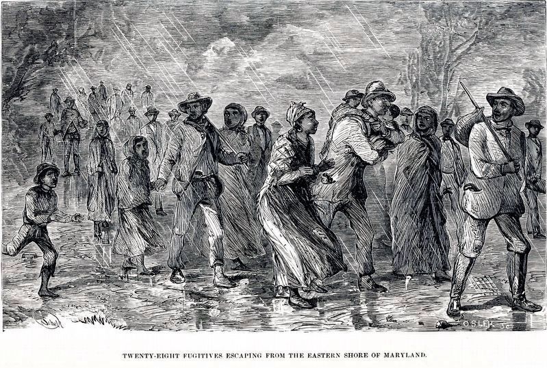
lower left: “Twenty-eight Fugitives Escaping from the Eastern Shore of Maryland” – Courtesy of the Library of Congress
lower middle: "Reproduction of an ad in the Washington, DC, newspaper, National Intelligencer - Courtesy of the Archives of Someplacesic
Slavery Forever Abolished … Proclamation of Gov. Bradford … The New Constitution Adopted … The Soldiers’ Votes … Opinion of the Governor.”
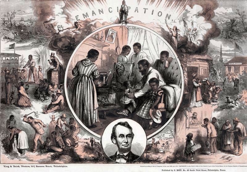
right: “Emancipation” by Thomas Nast, ca. 1865. Wood engraving printed in black and rose. Courtesy of the Library of Congress, Prints and Photographs Division
Erected 2014 by Tanger Outlets: Experience Salubria.
Topics. This historical marker is listed in these topic lists: Abolition & Underground RR • African Americans • War, US Civil. A significant historical month for this entry is November 1895.
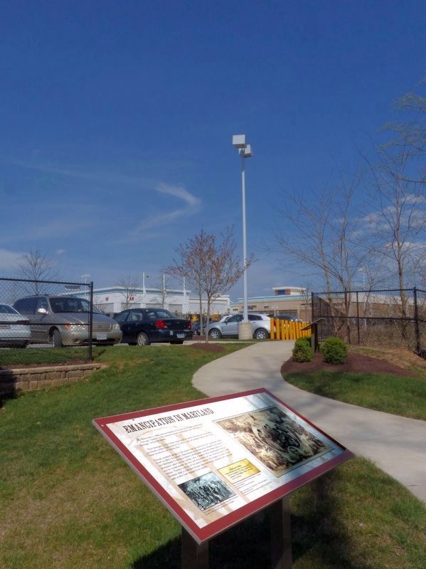
Location. 38° 47.566′ N, 77° 0.196′ W. Marker is in Fort Washington, Maryland, in Prince George's County. It is in the National Harbor. Marker can be reached from Oxon Hill Road (Maryland Route 414) 0.3 miles south of Harborview Avenue, on the left when traveling south. Marker is in the Salubria Memorial Garden at the southwest corner of the Tanger Outlet Mall. Touch for map. Marker is at or near this postal address: 7100 Oxon Hill Rd, Oxon Hill MD 20745, United States of America. Touch for directions.
Other nearby markers. At least 8 other markers are within walking distance of this marker. Dr. John H. Bayne of Salubria “Prince of Horticulture” (here, next to this marker); Dr. John H. Bayne: A Leader In His Community (a few steps from this marker); Slavery in the Potomac Valley (within shouting distance of this marker); Judah and Resistance (within shouting distance of this marker); Salubria Changed the Future of the Potomac Valley (within shouting distance of this marker); Front Door to Maryland History (about 400 feet away, measured in a direct line); John Hanson (about 800 feet away); Welcome to Salubria (approx. ¼ mile away). Touch for a list and map of all markers in Fort Washington.
Credits. This page was last revised on March 3, 2023. It was originally submitted on July 16, 2014, by Richard E. Miller of Oxon Hill, Maryland. This page has been viewed 656 times since then and 17 times this year. Photos: 1. submitted on July 16, 2014, by Richard E. Miller of Oxon Hill, Maryland. 2. submitted on May 10, 2018, by Allen C. Browne of Silver Spring, Maryland. 3, 4. submitted on April 20, 2018, by Allen C. Browne of Silver Spring, Maryland. • Bernard Fisher was the editor who published this page.


