Victoria in Capital, British Columbia — Canada’s West Coast (North America)
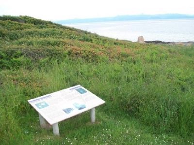
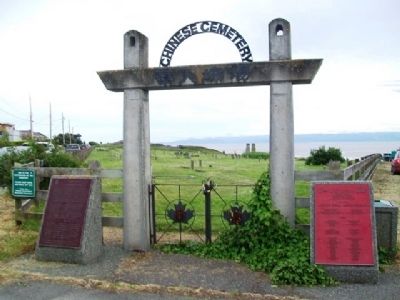
Chinese Cemetery
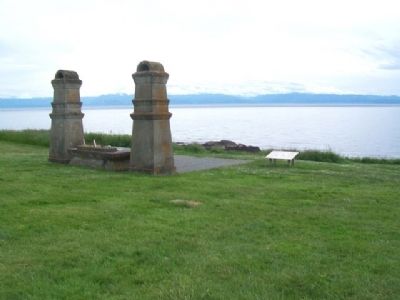
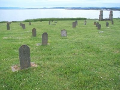
Before 1903 the remains of early Chinese immigrants were buried in the low-lying, southwestern corner of Ross Bay cemetery. This area was often flooded after a heavy rainstorm. In the early 1900s, high winds and waves eroded a few waterfront Chinese graves, exposing coffins and sweeping away their remains. In 1903 the Chinese Consolidated Benevolent Association (CCBA) purchased this site for a cemetery.
Traditional Chinese burial practices had the remains exhumed after seven years, the bones cleaned and dried, then packed in wooden crates for shipment back to China. While awaiting shipment, these bones were kept in a "bone house." Remains from across Canada were sent to Victoria for storage until the next shipment. Transfer of these remains ceased in 1937. The CCBA closed the cemetery in 1950 after all of the available burial sites were occupied. A final ceremony was held in 1961 burying the last of the remains in 13 mass graves.
[Photo caption reads]
Memorial Service at Harling Point
BC Archives #G-03076
——————————
Feng Shui
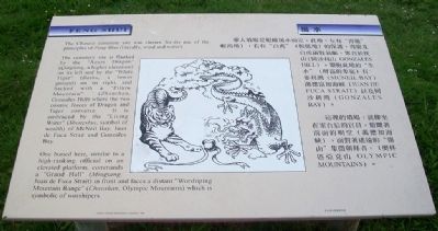
The Chinese cemetery site was chosen for its use of the principles of Feng Shui (literally, wind and water).
The cemetery site is flanked by the "Azure Dragon" (Qinglong, a higher elevation) on its left and by the "White Tiger" (Baihu, a lower ground) on its right, and backed with a "Pillow Mountain" (Zhenshan, Gonzales Hill) where the two cosmic forces of Dragon and Tiger converse. It is embraced by the "Living Water" (Shengshui, symbol of wealth) of McNeil [sic] Bay, Juan de Fuca Strait and Gonzales Bay.
One buried here, similar to a high-ranking official on an elevated platform, commands a "Grand Hall" (Mingtang, Juan de Fuca Strait) in front and faces a distant "Worshiping Mountain Range" (Chaoshan, Olympic Mountains) which is symbolic of worshipers.
[Image inset of Dragon and Tiger]
——————————
Natural Features
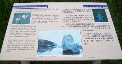
Harling Point is home to several rare plant species and the location of unique geological (rock) features.
Located at this site you can find during the moist springtime flowering season plants found only in a gentle Mediterranean climate. These include the common and tall camas; shooting star; Macoun's meadowfoam and the white fawn lily.
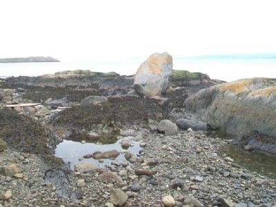
Two pieces of the earth's crust meet at Harling Point. Glaciers have carved large grooves in the rocks and left behind several large, glacial erratics (rocks moved by glaciers and left on top of a different kind of rock).
One such erratic, known as "Harpoon Rock," is associated with local Songhees oral tradition. The story tells of a man hunting seals and being visited by "The Transformer" who turned him into stone.
[Main inset photo caption reads]
Harpoon Rock at Harling Point - photo courtesy of Dr. David Lai
——————————
Community
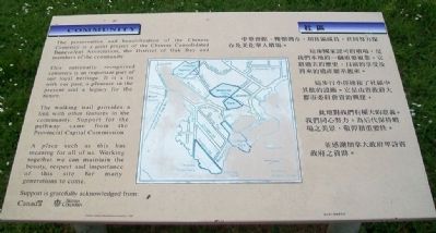
The preservation and beautification of the Chinese Cemetery is a joint project of the Chinese Consolidated Benevolent Association, the District of Oak Bay and members of the community.
This nationally recognized cemetery is an important part of our local heritage. It is a tie with our past, a pleasure in the present and a legacy for the future.
The walking trail provides a link with other features in the community. Support for the pathway came from the Provincial Capital Commission.
A place such as this has meaning for all of us. Working together we can maintain the beauty, respect and importance of this site for many generations to come.
Support is gratefully acknowledged from:
[The federal government of] Canada [and the provincial government of] British Columbia.
Erected 2001 by Chinese Cemetery Beautification Committee.
Topics. This historical marker is listed in these topic lists: Asian Americans • Cemeteries & Burial Sites • Environment • Settlements & Settlers. A significant historical year for this entry is 1903.
Location. 48° 24.4′ N, 123° 19.392′ W. Marker is in Victoria, British Columbia, in Capital. Marker is on Penzance Road just south of Crescent Road. Touch for map. Marker is in this post office area: Victoria BC V8S 2H5, Canada. Touch for directions.
Other nearby markers. At least 8 other markers are within walking distance of this marker. Sahsima (within shouting distance of this marker); a different marker also named Chinese Cemetery (about 120 meters away, measured in a direct line); European exploration in the Strait of Juan de Fuca (approx. 0.6 kilometers away); Abkhazi Garden (approx. one kilometer away); Abkhazi Garden House (approx. 1.1 kilometers away); Tlikwaynung (approx. 1.3 kilometers away); Right Reverend George Hills, D.D. (approx. 1.3 kilometers away); Isabella Mainville Ross (approx. 1.3 kilometers away). Touch for a list and map of all markers in Victoria.
Also see . . . Harling Point Chinese Cemetery, Victoria BC. (Submitted on July 18, 2014, by William Fischer, Jr. of Scranton, Pennsylvania.)
Credits. This page was last revised on September 29, 2020. It was originally submitted on July 17, 2014, by William Fischer, Jr. of Scranton, Pennsylvania. This page has been viewed 631 times since then and 27 times this year. Photos: 1, 2, 3, 4, 5, 6, 7, 8, 9, 10, 11. submitted on July 18, 2014, by William Fischer, Jr. of Scranton, Pennsylvania.
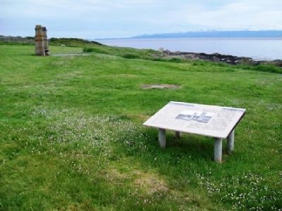
Editor’s want-list for this marker. Distance photo of "Community" marker • Can you help?

