Fort Montgomery in Orange County, New York — The American Northeast (Mid-Atlantic)
Building a Fort
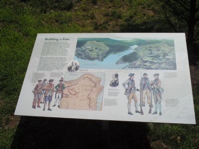
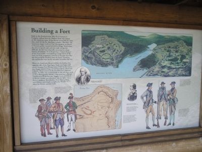
Early in the Revolutionary War, the Continental Congress realized that the Hudson River was critical to the American Cause. If the British controlled the river, they could divide the rebellious colonies. Therefore, the Americans began work on Fort Montgomery in March 1776 and quickly erected several buildings. Sited where the river is narrow and currents made navigation difficult, the fort was originally conceived as a large battery of cannons. At its heart was a “Grand Battery” of six 32-pounders commanding a long stretch of the river. As work progressed, however, it became clear that the fort would be attacked from the land. Therefore, the earthworks were slowly extended to enclose the fort.
When the Americans discovered that the land on the opposite side of the Popolopen Creek was higher and would threaten Fort Montgomery if held by the enemy, they began constructing a second fort there, called Fort Clinton. They connected the two forts by a pontoon bridge. As labor was concentrated on the new fort, work on Fort Montgomery slowed. Other problems affected construction of the fort too. Supplies were often hard to obtain, morale was often low, and discipline was a chronic problem. Nevertheless, Forts Montgomery and Clinton were largely complete by October 1777, when the British attacked them.
Erected by Fort Montgomery State Historic Site.
Topics. This historical marker is listed in these topic lists: Forts and Castles • Military • Notable Places • War, US Revolutionary. A significant historical month for this entry is March 1776.
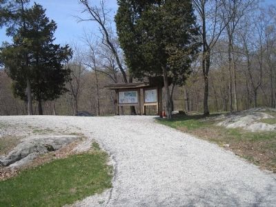
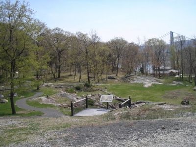
Location. 41° 19.451′ N, 73° 59.246′ W. Marker is in Fort Montgomery, New York, in Orange County. Marker is on U.S. 9W, on the right when traveling north. Marker is in Fort Montgomery State Historic Site on the walking trail, near Route 9W. Touch for map. Marker is in this post office area: Fort Montgomery NY 10922, United States of America. Touch for directions.
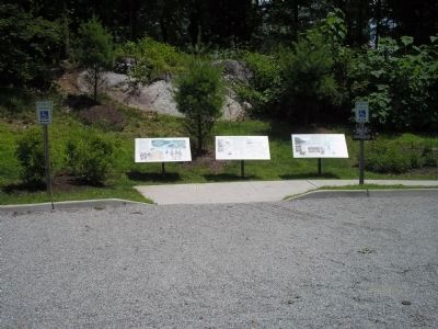
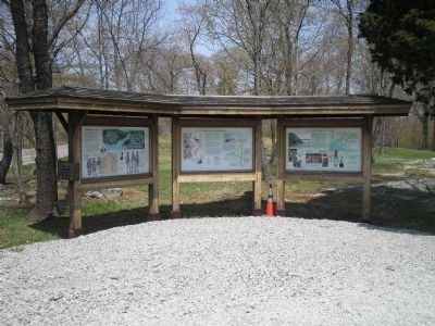
Other nearby markers. At least 8 other markers are within walking distance of this marker. Fort Montgomery Today (here, next to this marker); The Battle of Fort Montgomery (here, next to this marker); The Historic 1777 & 1779 Trails (within shouting distance of this marker); Powder Magazine (within shouting distance of this marker); Gardens of the Fort (within shouting distance of this marker); Three Sisters Garden (about 300 feet away, measured in a direct line); Guard House (about 300 feet away); Soldiers’ Necessary (about 300 feet away). Touch for a list and map of all markers in Fort Montgomery.
More about this marker. The bottom left of the marker features a picture of some Continental soldiers by Artist Alan H. Archumbault, courtesy Company of Military Historians. It contains the
caption "Local militia augmented Fort Montgomery’s garrison and did much of the construction work. The militia consisted of able-bodied men from the surrounding countryside, who would assemble to work or fight when called. However, because these men had homes and fields to attend to, they only served for short periods. When the fort was threatened, militia from Ulster, Dutchess, and Orange counties would hurry to its defense. Therefore, the size of the fort’s garrison fluctuated greatly."
A picture of "Brigadier General George Clinton. Courtesy New York State Library" appears on the marker with the caption "British General George Clinton commanded Fort Montgomery during its construction. He was elected Governor of New York in early summer 1777, while serving at the fort. Although he left for Kingston to perform his duties as Governor, he returned to direct the fort’s defenses when the British attacked."
A picture of "Brigadier General James Clinton, from Twin Forts of the Popolopen, 1937" appears with the caption "Brigadier General James Clinton was Governor George Clinton’s older brother. At times, James commanded Fort Montgomery, and during the battle with the British, he commanded the American forces at Fort Clinton."
The bottom of the marker contains a map of the fort with the caption "This map, drawn by Colonel Thomas Palmer in May 1776, shows the fort in its early stages of construction, before earthworks were extended to enclose the rear of the fort. At first, the Americans believed the mountainous terrain of the Highlands would discourage the British from approaching by land. Courtesy Division of Rare and Manuscript Collections, Cornell University Library"
The upper right portion of the map features "a drawing of Forts Clinton and Montgomery."
Related markers. Click here for a list of markers that are related to this marker. This series of markers follow the walking tour of the Fort Montgomery Battlefield.
Also see . . . The Battle of Fort's (sic) Montgomery and Clinton. The American Revolutionary War website entry (Submitted on May 2, 2008, by Bill Coughlin of Woodland Park, New Jersey.)
Credits. This page was last revised on August 20, 2021. It was originally submitted on May 2, 2008, by Bill Coughlin of Woodland Park, New Jersey. This page has been viewed 1,201 times since then and 7 times this year. Photos: 1, 2. submitted on December 3, 2009, by Bill Coughlin of Woodland Park, New Jersey. 3, 4, 5, 6. submitted on May 2, 2008, by Bill Coughlin of Woodland Park, New Jersey. • Christopher Busta-Peck was the editor who published this page.
