Near Westville in LaPorte County, Indiana — The American Midwest (Great Lakes)
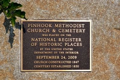
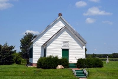
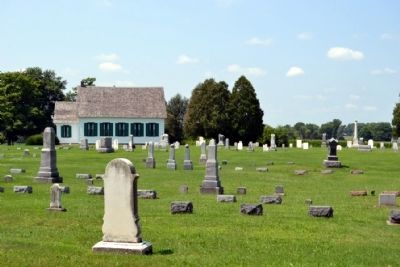
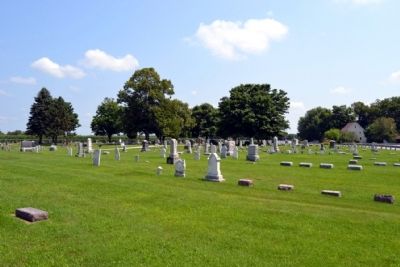
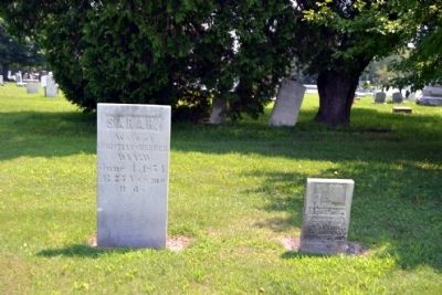
Pinhook Methodist Church and Cemetery
Church & Cemetery
was placed on the
National Register
of Historic Places
by the United States
Department of the Interior
September 24, 2009
Church Constructed 1847
Cemetery Established 1850
Topics. This historical marker is listed in these topic lists: Cemeteries & Burial Sites • Churches & Religion. A significant historical month for this entry is September 1876.
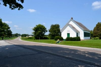
Location. 41° 33.795′ N, 86° 51.467′ W. Marker is near Westville, Indiana, in LaPorte County. Marker can be reached from State Road 2 west of S. Wozniak Road, on the right when traveling west. Touch for map. Marker is in this post office area: La Porte IN 46350, United States of America. Touch for directions.
Other nearby markers. At least 8 other markers are within 8 miles of this marker, measured as the crow flies. The Lincoln Train in Westville (approx. 2.7 miles away); Pinhook Bog (approx. 4 miles away); Door Village School (approx. 4.7 miles away); Door Village Fort (approx. 5.1 miles away); Chicago - New York Electric Air Line Railroad (approx. 6.1 miles away); Civil War Camps (approx. 6.7 miles away); Indian Boundary Line (approx. 7.1 miles away); La Porte World War II Memorial (approx. 7.4 miles away).
Also see . . . NRHP Registration Form. Registration form for nomination of Pinhook Church & Cemetery to the National Register of Historic Places. (Submitted on July 23, 2014.)
Credits. This page was last revised on June 16, 2016. It was originally submitted on July 23, 2014, by Duane Hall of Abilene, Texas. This page has been viewed 653 times since then and 39 times this year. Photos: 1, 2, 3, 4, 5, 6. submitted on July 23, 2014, by Duane Hall of Abilene, Texas.
