Marker Logo HMdb.org THE HISTORICAL
MARKER DATABASE
“Bite-Size Bits of Local, National, and Global History”
Near New Harmony in Washington County, Utah — The American Mountains (Southwest)
 

Military Training Camp Site


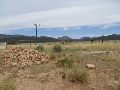
Military Training Camp Site Marker image. Click for full size.
Photographed By Bill Kirchner, June 16, 2014
1. Military Training Camp Site Marker
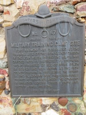
Inscription. Fort Harmony was designated as the training site of the Iron County division of the Utah Militia. In 1857 the Militia was divided into 13 districts. The southern group consisted of all counties south of Beaver and was known as the Iron County division. In 1867, during the period of the Blackhawk War, these companies trained at this place under the command of Brigadier General Erastus Snow and Captain James Andrews.
 
Erected 1940 by Fort Harmony Camp, Daughters of Utah Pioneers. (Marker Number 67.)
 
Topics and series. This historical marker is listed in these topic lists: MilitaryWars, US Indian. In addition, it is included in the Daughters of Utah Pioneers series list. A significant historical year for this entry is 1857.
 
Location. 37° 28.948′ N, 113° 17.98′ W. Marker is near New Harmony, Utah, in Washington County. Marker is on Utah Route 144, 4 miles west of Interstate 15, on the right when traveling west. Touch for map. Marker is in this post office area: New Harmony UT 84757, United States of America. Touch for directions.
 
Other nearby markers. At least 8 other markers are within 12 miles of this marker, measured as the crow flies. New Harmony (approx. 0.6 miles away); Fort Harmony (approx. 3.1 miles away); Kolob Canyons (approx. 6.3 miles away); Collapsing Scenery (approx. 6.3 miles away); Fort Kanarra
Paid Advertisement
Click on the ad for more information.
Please report objectionable advertising to the Editor.
Click or scan to see
this page online
(approx. 7.4 miles away); Snowfield Monument (approx. 8.7 miles away); South Rim of the Great Basin (approx. 10 miles away); Old Irontown (approx. 11˝ miles away). Touch for a list and map of all markers in New Harmony.
 
Military Training Camp Site Marker image. Click for full size.
Photographed By Bill Kirchner, June 16, 2014
2. Military Training Camp Site Marker
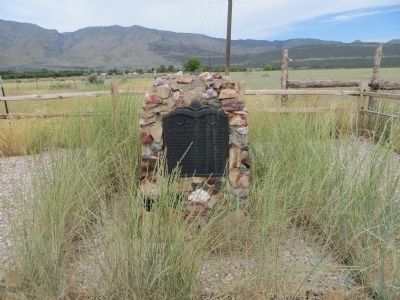
Military Training Camp Site Marker image. Click for full size.
Photographed By Bill Kirchner, June 16, 2014
3. Military Training Camp Site Marker
Military Training Camp Site Marker image. Click for full size.
Photographed By Bill Kirchner, June 16, 2014
4. Military Training Camp Site Marker
 
 
Credits. This page was last revised on June 16, 2016. It was originally submitted on July 23, 2014, by Bill Kirchner of Tucson, Arizona. This page has been viewed 676 times since then and 57 times this year. Photos:   1, 2, 3, 4. submitted on July 23, 2014, by Bill Kirchner of Tucson, Arizona. • Syd Whittle was the editor who published this page.
Share this page.  
Share on Tumblr
m=75622

CeraNet Cloud Computing sponsors the Historical Marker Database.
This website earns income from purchases you make after using our links to Amazon.com. We appreciate your support.
Paid Advertisement
Apr. 25, 2024