Lancaster in Coos County, New Hampshire — The American Northeast (New England)
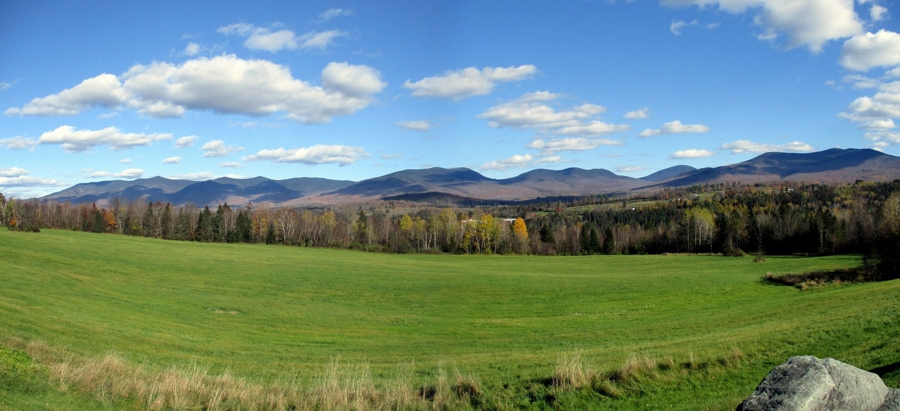
Lake Coos and the Presidential Range
Lancaster, founded in 1763, lies on the bed of glacial Lake Coos, formed as the glaciers receded 14,000 years ago. Today, the Connecticut, an American Heritage River, flows along the bottom of the ancient lake.
You stand at a gateway to The Great North Woods Region. To the east, aligned from north to south, are Mounts Madison, Adams, Jefferson, and Washington, the highest peaks of the White Mountains' Presidential Range. Mt. Washington, at 6288 feet, is the highest in the Northeast. The strongest winds ever recorded, 231 miles per hour, were measured on its summit on April 12, 1934.
Erected 1999 by New Hampshire Division of Historical Resources. (Marker Number 173.)
Topics and series. This historical marker is listed in these topic lists: Natural Features • Paleontology • Waterways & Vessels. In addition, it is included in the New Hampshire Historical Highway Markers series list. A significant historical month for this entry is April 1863.
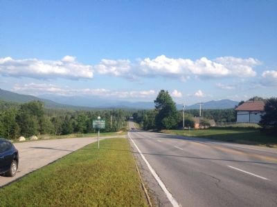
Location. 44° 28.074′ N, 71° 32.605′ W. Marker is in Lancaster, New Hampshire, in Coos County. Marker is on Portland Street (U.S. 2) 1.8 miles east of Prospect Street (U.S. 3), on the right when traveling west. Marker is located next to a pull-out (parking area (no services)) across the road from Roger's campground. Touch for map. Marker is in this post office area: Lancaster NH 03584, United States of America. Touch for directions.
Other nearby markers. At least 8 other markers are within 2 miles of this marker, measured as the crow flies. Thaddeus S. C. Lowe (approx. 1.7 miles away); Lancaster War Memorial (approx. 1.7 miles away); First Church of Lancaster (approx. 1.8 miles away); The Thompson Legacy (approx. 1.9 miles away); Lancaster Main Street Program’s (approx. 1.9 miles away); The Weeks Act (approx. 2 miles away); Col. Edward Cross (approx. 2.1 miles away); a different marker also named Lancaster War Memorial (approx. 2.1 miles away). Touch for a list and map of all markers in Lancaster.
Credits. This page was last revised on November 1, 2021. It was originally submitted on July 27, 2014, by Kevin Craft of Bedford, Quebec. This page has been viewed 625 times since then and 43 times this year. Photos: 1, 2. submitted on July 27, 2014, by Kevin Craft of Bedford, Quebec. 3. submitted on November 1, 2021, by Larry Gertner of New York, New York. • Bill Pfingsten was the editor who published this page.


