North Arlington in Tarrant County, Texas — The American South (West South Central)
Site of Bird's Fort
(One Mile East)
Inscription.
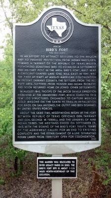
In an effort to attract settlers to the region and to provide protection from Indian raids, Gen. Edward H. Tarrant of the Republic of Texas Militia authorized Jonathan Bird to establish a settlement and military post in the area. Bird's Fort, built near a crescent-shaped lake one mile east in 1841, was the first attempt at Anglo-American colonization in present Tarrant County. The settlers, from the Red River area, suffered from hunger and Indian problems and soon returned home or joined other settlements.
In August 1843, troops of the Jacob Snively expedition disbanded at the abandoned fort, which consisted of a few log structures. Organized to capture Mexican gold wagons on the Santa Fe Trail in retaliation for raids of San Antonio, the outfit had been disarmed by United States forces.
About the same time, negotiations began at the fort between Republic of Texas officials Gen. Tarrant and Gen. George W. Terrell and the leaders of nine Indian tribes. The meetings ended on September 29, 1843, with the signing of the Bird's Fort Treaty. Terms of the agreement called for an end to existing conflicts and the establishment of a line separating Indian lands from territory open for colonization.
(supplemental)
This marker was relocated to River Legacy Park in 2003. The Bird's Fort site is about 1-¼ miles north-northeast of this location.
Erected 1980 by Texas Historical Commission. (Marker Number 4732.)
Topics. This historical marker is listed in these topic lists: Forts and Castles • Native Americans • Settlements & Settlers. A significant historical month for this entry is September 1852.
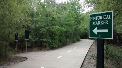
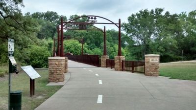
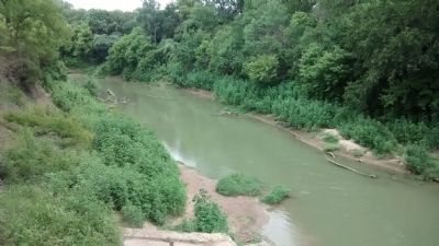
Location. 32° 47.281′ N, 97° 5.975′ W. Marker is in Arlington, Texas, in Tarrant County. It is in North Arlington. Marker can be reached from River Legacy Park Trail, 0.2 miles west of North Collins Street (Farm to Market Road 157), on the left when traveling east. The marker is located on the hike & bike trail, near the West Fork Trinity River bridge. Touch for map. Marker is in this post office area: Arlington TX 76011, United States of America. Touch for directions.
Other nearby markers. At least 8 other markers are within 3 miles of this marker, measured as the crow flies. Jesse Chisholm (here, next to this marker); Sloan-Journey Expedition of 1838 (here, next to this marker); Calloway Cemetery (approx. 1.7 miles away); Gibbins Cemetery and Homestead Site (approx. 1.8 miles away); Saint John Missionary Baptist Church (approx. 2 miles away); Site of Mosier Valley School (approx. 2.1 miles away); Ford Cemetery (approx. 2.8 miles away); P.A. Watson Cemetery (approx. 2.9 miles away). Touch for a list and map of all markers in Arlington.
Related marker. Click here for another marker that is related to this marker. See reference to Bird's Fort on related marker description.
Credits. This page was last revised on February 2, 2023. It was originally submitted on July 31, 2014, by Richard Denney of Austin, Texas. This page has been viewed 1,548 times since then and 131 times this year. Photos: 1, 2, 3, 4, 5. submitted on July 31, 2014, by Richard Denney of Austin, Texas. • Bernard Fisher was the editor who published this page.
