Memphis in Shelby County, Tennessee — The American South (East South Central)
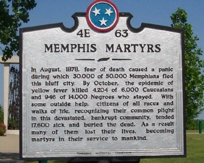
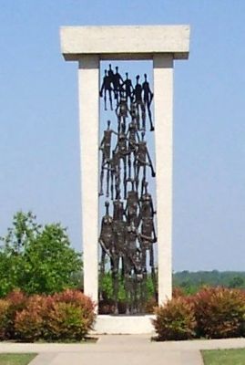
Memphis Martyrs
Erected by Tennessee Historical Commission. (Marker Number 4E 63.)
Topics and series. This historical marker is listed in this topic list: Disasters. In addition, it is included in the Tennessee Historical Commission series list. A significant historical year for this entry is 1878.
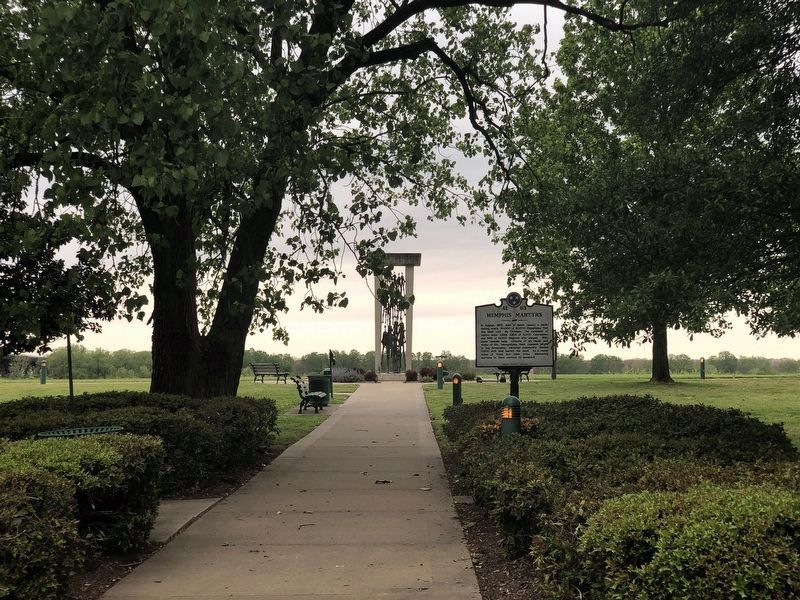
Location. 35° 7.71′ N, 90° 4.224′ W. Marker is in Memphis, Tennessee, in Shelby County. Marker can be reached from Channel 3 Drive. Located in Martyrs Park off Channel 3 Drive. Channel 3 Drive intersects Riverside Drive just North of the Interstate 55, Riverside Drive Interchange. Touch for map. Marker is in this post office area: Memphis TN 38103, United States of America. Touch for directions.
Other nearby markers. At least 8 other markers are within walking distance of this marker. Fort Pickering (approx. 0.3 miles away); U.S. Marine Hospital (approx. 0.4 miles away); Chisca Mound (approx. half a mile away); De Soto Viewed the Mississippi (approx. half a mile away); Fortress of Chisca (approx. half a mile away); Chickasaw Heritage Park (approx. half a mile away); Tom Lee Monument (approx. 0.6 miles away); Site of First Memphis Telephone (approx. 0.6 miles away). Touch for a list and map of all markers in Memphis.
Credits. This page was last revised on April 28, 2023. It was originally submitted on May 4, 2008, by Thomas S Parker of Memphis, Tennessee. This page has been viewed 3,805 times since then and 45 times this year. Photos: 1. submitted on May 4, 2008, by Thomas S Parker of Memphis, Tennessee. 2. submitted on April 28, 2023, by Duane and Tracy Marsteller of Murfreesboro, Tennessee. 3. submitted on May 4, 2008, by Thomas S Parker of Memphis, Tennessee. • Craig Swain was the editor who published this page.


