Near Fredericksburg in Spotsylvania County, Virginia — The American South (Mid-Atlantic)
First Day at Chancellorsville
Safer Ground
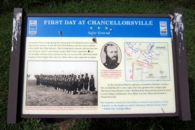
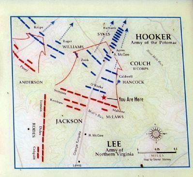
As the retreating Federal regiments, hounded by Southern artillery fire, crested the hill to your right, they were greeted with a happy sight. The fresh Union division of Gen. Winfield Scott Hancock had moved forward to cover Sykes’s withdrawal. Once Sykes was clear, Hancock fell back to Chancellorsville.
"My brigades, covered by skirmishers, moved in succession, in line of battle, to the height on which (Absalom) McGee's house rests." — Union Gen. George Sykes
(captions)
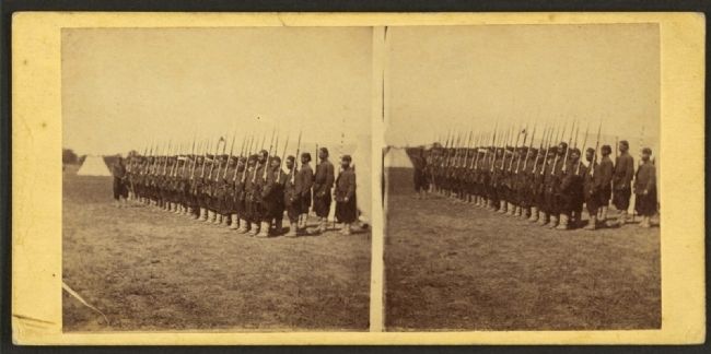
(lower left) Men of the veteran 5th New York Infantry, in their brightly colored Zouave uniforms, fought in their last battle at Chancellorsville. Their terms of enlistment expired just days after the fighting. — Courtesy The New-York Historical Society
(center) Col. Kenner Garrard commanded the 146th New York Infantry from the summer of 1862 through the Battle of Gettysburg in July 1863. Courtesy Library of Congress
Erected by Virginia Civil War Trails, Civil War Trust.
Topics and series. This historical marker is listed in this topic list: War, US Civil. In addition, it is included in the Virginia Civil War Trails series list. A significant historical month for this entry is July 1863.
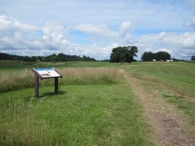
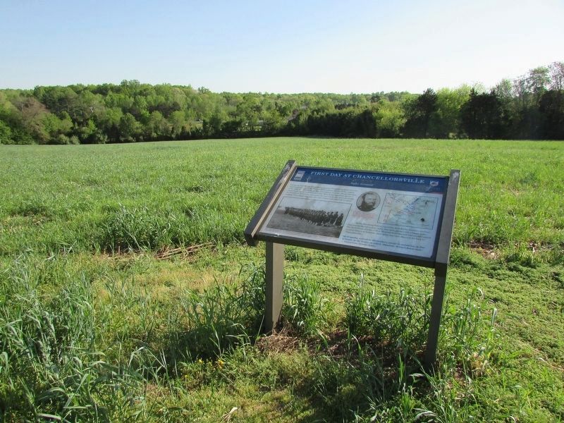
Location. 38° 17.974′ N, 77° 36.327′ W. Marker is near Fredericksburg, Virginia, in Spotsylvania County. Marker is on Plank Road (Virginia Route 3) 0.8 miles west of Corter Avenue. Located along the Lick Run Battlefield trail. Touch for map. Marker is at or near this postal address: 6161 Plank Road, Fredericksburg VA 22407, United States of America. Touch for directions.
Other nearby markers. At least 8 other markers are within walking distance of this marker. A different marker also named First Day at Chancellorsville (about 600 feet away, measured in a direct line); a different marker also named First Day at Chancellorsville (approx. ¼ mile away); a different marker also named First Day at Chancellorsville (approx. 0.4 miles away); a different marker also named First Day at Chancellorsville (approx. 0.4 miles away); a different marker also named First Day at Chancellorsville (approx. 0.4 miles away); a different marker also named First Day at Chancellorsville (approx. half a mile away); Chancellorsville Campaign (approx. half a mile away); a different marker also named The First Day at Chancellorsville (approx. half a mile away). Touch for a list and map of all markers in Fredericksburg.
Also see . . . Chancellorsville. American Battlefield Trust (Submitted on August 3, 2014.)
Credits. This page was last revised on April 25, 2023. It was originally submitted on August 3, 2014, by Bernard Fisher of Richmond, Virginia. This page has been viewed 527 times since then and 13 times this year. Last updated on October 29, 2020, by Bradley Owen of Morgantown, West Virginia. Photos: 1. submitted on August 3, 2014, by Bernard Fisher of Richmond, Virginia. 2. submitted on August 4, 2014, by Bernard Fisher of Richmond, Virginia. 3, 4. submitted on August 3, 2014, by Bernard Fisher of Richmond, Virginia. 5. submitted on April 22, 2023, by Bill Coughlin of Woodland Park, New Jersey. 6. submitted on August 3, 2014, by Bernard Fisher of Richmond, Virginia. 7. submitted on August 4, 2014, by Bernard Fisher of Richmond, Virginia.
