Genesee Falls in Wyoming County, New York — The American Northeast (Mid-Atlantic)
Genesee Valley Canal
1862 - 1878
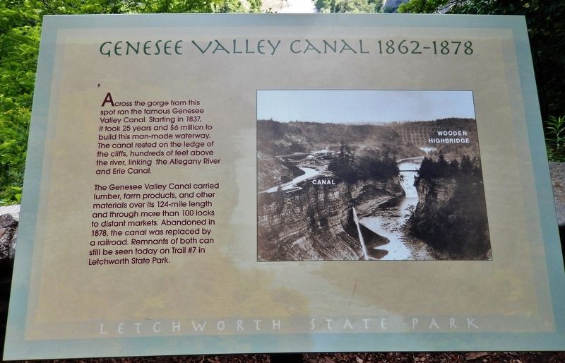
The Genesee Valley Canal carried lumber, farm products, and other materials over its 124-mile length and through more than 100 locks to distant markets. Abandoned in 1878, the canal was replaced by a railroad. Remnants of both can still be seen today on Trail #7 in Letchworth State Park.
Erected by Letchworth State Park.
Topics. This historical marker is listed in this topic list: Waterways & Vessels. A significant historical year for this entry is 1836.
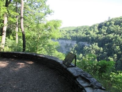
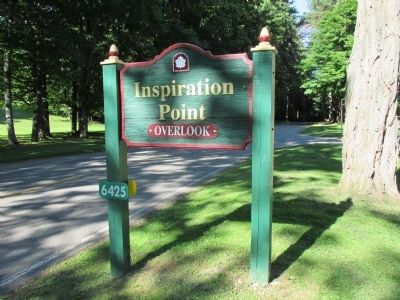
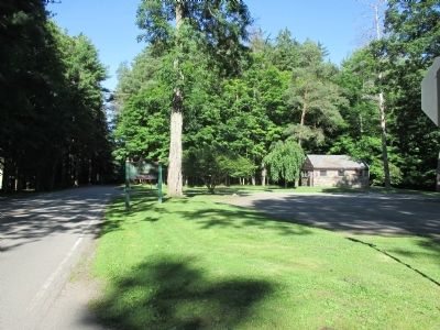
Location. 42° 35.302′ N, 78° 2.138′ W. Marker is in Genesee Falls, New York, in Wyoming County. Marker can be reached from Trout Pond Road. Marker is located at the Inspiration Point area in Letchworth State Park, southern end of the park. Touch for map. Marker is in this post office area: Castile NY 14427, United States of America. Touch for directions.
Other nearby markers. At least 8 other markers are within walking distance of this marker. Seh-Ga-Hun-Da (within shouting distance of this marker); Hornby Lodge (about 300 feet away, measured in a direct line); Pages of Geologic Time (about 400 feet away); William Pryor Letchworth 1823 - 1910 (about 500 feet away); Glacial History (about 700 feet away); First New York Dragoons. Volunteers. 1862-1865. (about 700 feet away); Pioneer Cemetery (approx. 0.2 miles away); District #2 Schoolhouse (approx. 0.2 miles away).
Also see . . .
1. Genesee Valley Canal - Letchworth State Park History. (Submitted on August 7, 2014, by Anton Schwarzmueller of Wilson, New York.)
2. Genesee Valley Canal - Wikipedia. (Submitted on August 7, 2014, by Anton Schwarzmueller of Wilson, New York.)
Photographed By Anton Schwarzmueller, July 24, 2014
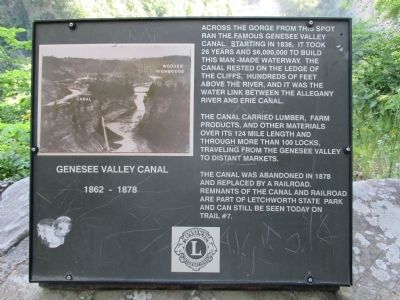
2. Genesee Valley Canal Marker (previous version)
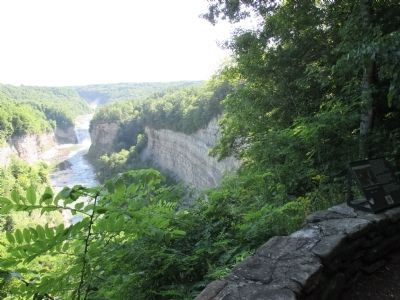
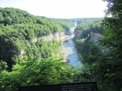
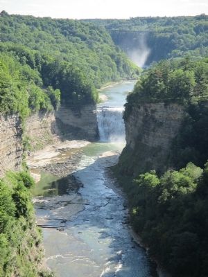
Across the gorge from this spot ran the famous Genesee Valley Canal. Starting in 1836, it took 26 years and $6,000,000 to build this man-made waterway. The canal rested on the ledge of the cliffs, hundreds of feet above the river, and it was the water link between the Allegany River and Erie Canal.
The canal carried lumber, farm products, and other materials over its 124 mile length and through more than 100 locks, traveling from the Genesee Valley to distant markets.
The canal was abandoned in 1878 and replaced by a railroad. Remnants of the canal and railroad are part of Letchworth state Park and can still be seen today on trail #7.
Credits. This page was last revised on May 23, 2020. It was originally submitted on August 7, 2014, by Anton Schwarzmueller of Wilson, New York. This page has been viewed 611 times since then and 29 times this year. Photos: 1. submitted on December 4, 2019, by Cosmos Mariner of Cape Canaveral, Florida. 2, 3, 4, 5, 6, 7, 8, 9, 10. submitted on August 7, 2014, by Anton Schwarzmueller of Wilson, New York. • Bill Pfingsten was the editor who published this page.
