Santa Fe in Santa Fe County, New Mexico — The American Mountains (Southwest)
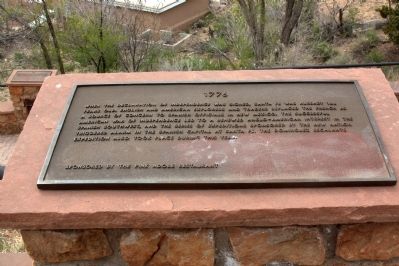
1776
— Commemorative Walkway Park —
Erected 1986 by the Pink Adobe Restaurant. (Marker Number 8.)
Topics. This historical marker is listed in these topic lists: Colonial Era • Exploration.
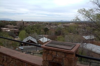
Location. 35° 41.381′ N, 105° 55.999′ W. Marker is in Santa Fe, New Mexico, in Santa Fe County. Marker can be reached from Paseo de Peralta near Otero Street. It is in Hillside Park. Touch for map. Marker is in this post office area: Santa Fe NM 87501, United States of America. Touch for directions.
Other nearby markers. At least 8 other markers are within walking distance of this marker. 1862 (here, next to this marker); 1692 (here, next to this marker); 1712 (a few steps from this marker); 1680 (a few steps from this marker); 1912 (within shouting distance of this marker); 1876 (within shouting distance of this marker); 1926 (within shouting distance of this marker); 1945 (within shouting distance of this marker). Touch for a list and map of all markers in Santa Fe.
Related markers. Click here for a list of markers that are related to this marker. This is a list of all 21 markers on Santa Fe’s Commemorative Walkway at Hillside Park. There is a link on the list to a map of all markers on the walkway.
Also see . . . Wikipedia Entry for the Dominguez-Escalante Expedition. “The Dominguez-Escalante Expedition was conducted in 1776 to find an overland route from Santa Fe, New Mexico to their Catholic mission in Monterey. Francisco Atanasio Domínguez and Silvestre Vélez de Escalante, Franciscan priests, and Don Bernardo Miera y Pacheco, a cartographer, traveled with eight men from Santa Fe through present day western Colorado to Utah Valley, now in the state of Utah. Along the journey they were aided by three Timpanog Ute guides. Due to hardships experienced during travel, the group did not reach Las Californias, but returned to Santa Fe through Arizona. The maps and documentation of their expedition aided future travelers. Their route became part of the Old Spanish Trail from Santa Fe.” (Submitted on August 14, 2014.)
Credits. This page was last revised on June 16, 2016. It was originally submitted on August 14, 2014, by J. J. Prats of Powell, Ohio. This page has been viewed 410 times since then and 13 times this year. Photos: 1, 2. submitted on August 14, 2014, by J. J. Prats of Powell, Ohio.

