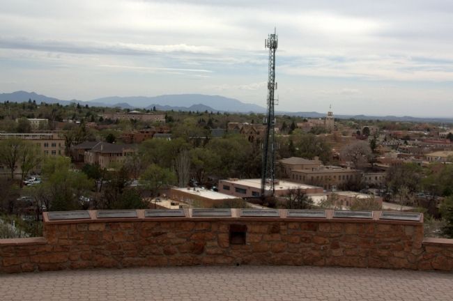
Santa Fe in Santa Fe County, New Mexico — The American Mountains (Southwest)
1945
— Commemorative Walkway Park —
Erected 1986 by the Bataan Veterans of Santa Fe. (Marker Number 15.)
Topics. This historical marker is listed in this topic list: War, World II. A significant historical month for this entry is July 1904.
Location. 35° 41.372′ N, 105° 55.985′ W. Marker is in Santa Fe, New Mexico, in Santa Fe County. Marker can be reached from Paseo de Peralta near Otero Street. It is in Hillside Park. Touch for map. Marker is in this post office area: Santa Fe NM 87501, United States of America. Touch for directions.
Other nearby markers. At least 8 other markers are within walking distance of this marker. 1960 (here, next to this marker); 1926 (here, next to this marker); 1976 (here, next to this marker); 1912 (here, next to this marker); 1982 (here, next to this marker); 1985 (here, next to this marker); To the Future (here, next to this marker); 1862 (a few steps from this marker). Touch for a list and map of all markers in Santa Fe.
Related markers. Click here for a list of markers that are related to this marker. This is a list of all 21 markers on Santa Fe’s Commemorative Walkway at Hillside Park. There is a link on the list to a map of all markers on the walkway.
Also see . . . Wikipedia Entry for Los Alamos National Laboratory. “General Leslie Groves wanted a central laboratory at an isolated location for safety, and to keep the scientists away from the populace. It should be at least 200 miles from international boundaries and west of the Mississippi. Major John Dudley suggested Oak City, Utah or Jemez Springs, New Mexico but both were rejected. Manhattan Project scientific director J. Robert Oppenheimer had spent much time in his youth in the New Mexico area, and suggested the Los Alamos Ranch School on the mesa. Dudley had rejected the school as not meeting Groves’ criteria, but as soon as Groves saw it he said in effect This is the place. Oppenheimer became the laboratory’s first director.” (Submitted on August 16, 2014.)
Credits. This page was last revised on June 16, 2016. It was originally submitted on August 16, 2014, by J. J. Prats of Powell, Ohio. This page has been viewed 451 times since then and 18 times this year. Photos: 1, 2. submitted on August 16, 2014, by J. J. Prats of Powell, Ohio.

