Santa Fe in Santa Fe County, New Mexico — The American Mountains (Southwest)
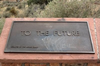
To the Future
— Commemorative Walkway Park —
T O T H E F U T U R E
Erected 1986 by the Abeles Family. (Marker Number 20.)
Topics. This historical marker is listed in this topic list: Notable Places.
Location. 35° 41.371′ N, 105° 55.983′ W. Marker is in Santa Fe, New Mexico, in Santa Fe County. It is in Hillside Park. Touch for map. Marker is in this post office area: Santa Fe NM 87501, United States of America. Touch for directions.
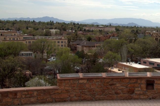
Other nearby markers. At least 8 other markers are within walking distance of this marker. 1985 (here, next to this marker); 1982 (here, next to this marker); 1976 (here, next to this marker); 1960 (here, next to this marker); 1945 (here, next to this marker); 1926 (here, next to this marker); 1912 (here, next to this marker); 1848 (a few steps from this marker). Touch for a list and map of all markers in Santa Fe.
More about this marker. While this tablet does not qualify as a historical marker under the guidelines for this database, it is included in order to complete the series of historical markers erected in 1986 on this walkway. The historical marker at the entrance to the walkway promises 20 markers and this is the 20th.
Related markers. Click here for a list of markers that are related to this marker. This is a list of all 21 markers on Santa Fe’s Commemorative Walkway at Hillside Park. There is a link on the list to a map of all markers on the walkway.
Credits. This page was last revised on June 16, 2016. It was originally submitted on August 16, 2014, by J. J. Prats of Powell, Ohio. This page has been viewed 456 times since then and 10 times this year. Photos: 1, 2. submitted on August 16, 2014, by J. J. Prats of Powell, Ohio.

