Markle in Huntington County, Indiana — The American Midwest (Great Lakes)
Scotton Grist Mill
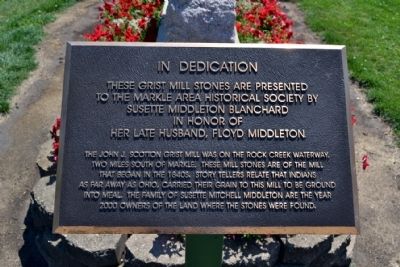
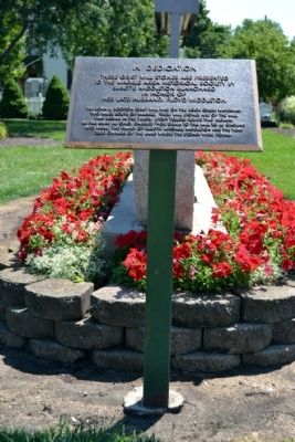
These grist mill stones are presented
to the Markle Area Historical Society by
Susette Middleton Blanchard
in honor of
her late husband, Floyd Middleton.
The John J. Scotton Grist Mill was on the Rock Creek waterway, two miles south of Markle. These mill stones are of the mill that began in the 1840s. Story tellers relate that Indians as far away as Ohio, carried their grain to this mill to be ground into meal. The family of Susette Mitchell Middleton are the year 2000 owners of the land where the stones were found.
Topics. This historical marker is listed in this topic list: Industry & Commerce. A significant historical year for this entry is 2000.
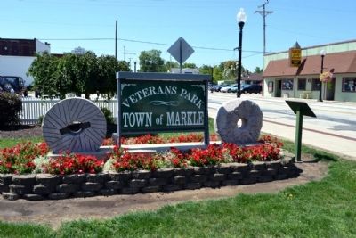
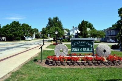
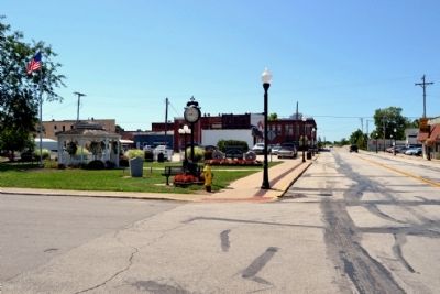
Location. 40° 49.512′ N, 85° 20.288′ W. Marker is in Markle, Indiana, in Huntington County. Marker is at the intersection of N. Clark Street (State Road 3) and E. Sparks Street, on the right when traveling north on N. Clark Street. Marker is located in Veterans Park. Touch for map. Marker is in this post office area: Markle IN 46770, United States of America. Touch for directions.
Other nearby markers. At least 8 other markers are within 9 miles of this marker, measured as the crow flies. Markle Veterans Memorial (a few steps from this marker); Markle World War II Memorial (within shouting distance of this marker); Original Site of Markle Masonic Lodge No. 453 (about 300 feet away, measured in a direct line); Original Site Markle Public School (about 400 feet away); Thomas Mill Water Turbine (approx. 0.2 miles away); Indian Mill Stone (approx. 0.2 miles away); Deam Oak (approx. 8.3 miles away); Kingsland Interurban Wreck (approx. 8˝ miles away). Touch for a list and map of all markers in Markle.
Credits. This page was last revised on June 16, 2016. It was originally submitted on August 23, 2014, by Duane Hall of Abilene, Texas. This page has been viewed 365 times since then and 7 times this year. Photos: 1, 2, 3, 4, 5. submitted on August 23, 2014, by Duane Hall of Abilene, Texas.
