Rincon in Effingham County, Georgia — The American South (South Atlantic)
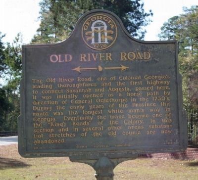
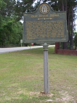
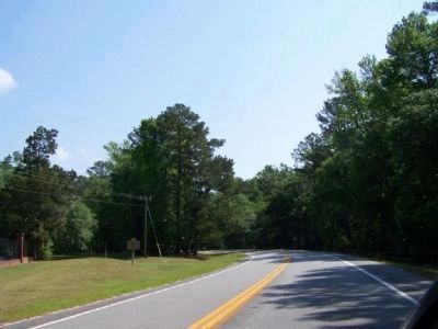
Old River Road
←—→
Erected 1956 by Georgia Historical Commission. (Marker Number 051-3.)
Topics and series. This historical marker is listed in these topic lists: Colonial Era • Roads & Vehicles • Settlements & Settlers. In addition, it is included in the Georgia Historical Society series list.
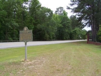
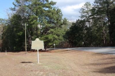
Location. 32° 22.388′ N, 81° 10.961′ W. Marker is in Rincon, Georgia, in Effingham County. Marker is on Ebenezer Road (Georgia Route 275), on the left when traveling north. Marker located near the Ebenezer Cemetery. Touch for map. Marker is in this post office area: Rincon GA 31326, United States of America. Touch for directions.
Other nearby markers. At least 8 other markers are within walking distance of this marker. March to the Sea: Ebenezer Creek (a few steps from this marker); William Bartram Trail (within shouting distance of this marker); The Salzburgers (within shouting distance of this marker); Jerusalem Church Cemetery (within shouting distance of this marker); The Rev. John Martin Bolzius / The Rev. Israel Christian Gronau (about 400 feet away, measured in a direct line); The Town of Ebenezer (approx. ¼ mile away); John Adam Treutlen (approx. ¼ mile away); Silk Culture at Ebenezer (approx. ¼ mile away). Touch for a list and map of all markers in Rincon.
Credits. This page was last revised on June 16, 2016. It was originally submitted on May 7, 2008, by Mike Stroud of Bluffton, South Carolina. This page has been viewed 2,323 times since then and 39 times this year. Photos: 1. submitted on January 2, 2009, by Mike Stroud of Bluffton, South Carolina. 2, 3. submitted on May 7, 2008, by Mike Stroud of Bluffton, South Carolina. 4. submitted on January 2, 2009, by Mike Stroud of Bluffton, South Carolina. 5. submitted on May 7, 2008, by Mike Stroud of Bluffton, South Carolina. • Kevin W. was the editor who published this page.
