Near Caldwell in Greenbrier County, West Virginia — The American South (Appalachia)
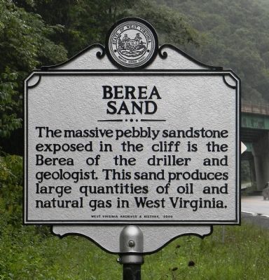
Berea Sand
The massive pebbly sandstone exposed in the cliff is the Berea of the driller and geologist. This sand produces large quantities of oil and natural gas in West Virginia.
Erected 2009 by West Virginia Archives & History.
Topics and series. This historical marker is listed in these topic lists: Environment • Industry & Commerce. In addition, it is included in the West Virginia Archives and History series list.
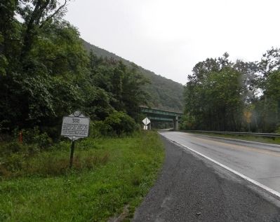
Location. 37° 46.394′ N, 80° 22.69′ W. Marker is near Caldwell, West Virginia, in Greenbrier County. Marker is on Midland Trail (U.S. 60) 1.2 miles west of Harts Run Road (County Road 60/14), on the right when traveling west. Touch for map. Marker is in this post office area: Caldwell WV 24925, United States of America. Touch for directions.
Other nearby markers. At least 8 other markers are within 4 miles of this marker, measured as the crow flies. Caldwell: Heritage (approx. 1.4 miles away); Tennis and the Outdoor Swimming Pool (approx. 3.7 miles away); The Springhouse (approx. 3.7 miles away); a different marker also named The Springhouse (approx. 3.7 miles away); President's Cottage (approx. 3.8 miles away); Greenbrier Military School (approx. 3.8 miles away); The Old White (approx. 3.9 miles away); Robert C. Byrd Clinic (approx. 3.9 miles away).
Also see . . . Geology of the Bedford Shale and Berea Sandstone in the Appalachian Basin. USGC PDF:
A study of the stratigraphy, sedimentation and paleogeography of rocks of Bedford and Berea age in Ohio and adjacent States (Submitted on August 24, 2014, by PaulwC3 of Northern, Virginia.)
Credits. This page was last revised on August 3, 2022. It was originally submitted on August 24, 2014, by PaulwC3 of Northern, Virginia. This page has been viewed 412 times since then and 18 times this year. Photos: 1, 2. submitted on August 24, 2014, by PaulwC3 of Northern, Virginia.
Editor’s want-list for this marker. Photo of cliff when visible (fall, winter, spring) • Can you help?

