City Center in Chattanooga in Hamilton County, Tennessee — The American South (East South Central)
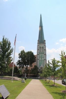
First Methodist Church
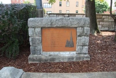
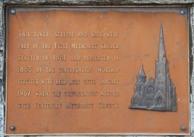
part of the First Methodist Church
started in 1881 and dedicated in
1885 by the congregation. Worship
services were held here until January
1967 when the congregation merged
with Centenary Methodist Church.
Topics. This historical marker is listed in this topic list: Churches & Religion. A significant historical year for this entry is 1881.
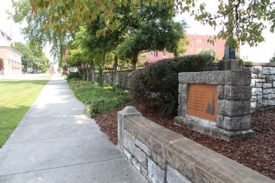
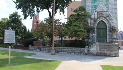
Location. 35° 2.871′ N, 85° 18.413′ W. Marker is in Chattanooga, Tennessee, in Hamilton County. It is in City Center. Marker is on Georgia Avenue south of McCallie Avenue, on the left when traveling south. This historical marker is located just above a short stone wall, that is part of the church grounds' landscaping, and is situated along a public sidewalk that runs through Phillips Park, from McCallie Avenue to Georgia Avenue. Touch for map. Marker is in this post office area: Chattanooga TN 37402, United States of America. Touch for directions.
Other nearby markers. At least 8 other markers are within walking distance of this marker. Abby Crawford Milton (here, next to this marker); Military History of Chattanooga (within shouting distance of this marker); Ochs/Times Building (about 300 feet away, measured in a direct line); Old Library Building (about 300 feet away); Basilica of Saints Peter and Paul (about 400 feet away); Hamilton County (about 400 feet away); First Coca-Cola Bottling Company In The United States (about 600 feet away); Frances Willard House (about 700 feet away). Touch for a list and map of all markers in Chattanooga.
Credits. This page was last revised on February 7, 2023. It was originally submitted on August 27, 2014, by Dale K. Benington of Toledo, Ohio. This page has been viewed 834 times since then and 71 times this year. Photos: 1, 2, 3, 4, 5. submitted on August 27, 2014, by Dale K. Benington of Toledo, Ohio.
