Marker Logo HMdb.org THE HISTORICAL
MARKER DATABASE
“Bite-Size Bits of Local, National, and Global History”
Dunbar in Fayette County, Pennsylvania — The American Northeast (Mid-Atlantic)
 

The Remains of the Beehive Coke Ovens


The Remains of the Beehive Coke Ovens Marker image. Click for full size.
Photographed By Anton Schwarzmueller, August 24, 2014
1. The Remains of the Beehive Coke Ovens Marker
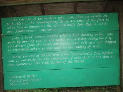
Inscription. The remains of the beehive coke ovens, that are visible on both sides of the Youghiogheny River, are some of the first in what became known as the "Connellsville Coke Region", with over 35,000 ovens in operation.

Coke, a hard, porous residue with a high heating value, was made by burning coal in the sealed ovens. When ready, the coke was drawn from the ovens and loaded into rail cars and shipped to Pittsburgh, where it was used in the making of steel.

Until the end of World War I, the "Connellsville Coke Region" was so unrivalled in the production of coke, that at one time it was known as "The Coke Center of the World".
 
Erected 1995 by Andrew P. Miller, Eagle Scout Project.
 
Topics. This historical marker is listed in this topic list: Industry & Commerce.
 
Location. 40° 2.179′ N, 79° 38.447′ W. Marker is in Dunbar, Pennsylvania, in Fayette County. Marker can be reached from Great Allegheny Passage. The GPS coordinates are approximate. Marker is on the Great Allegheny Passage (North), on a section called the Youghiogheny River Trail (YRT). This is the railbed of the Pittsburgh, McKeesport & Youghiogheny Railroad, later part of the Pittsburgh & Lake Erie Railroad, and now a wide groomed trail ("Rails

Paid Advertisement
Click on the ad for more information.
Please report objectionable advertising to the Editor.
Click or scan to see
this page online
to Trails"). The marker is located a few yards east of old railroad milepost 54. For perspective, milepost 55 is located alongside River's Edge KOA Campground, farther east of the marker on the YRT. The trail mileposts, in the form of wood survey stakes, are marked without respect to the old railroad mileposts which are cement and less susceptable to mischief. Touch for map. Marker is in this post office area: Connellsville PA 15425, United States of America. Touch for directions.
 
Other nearby markers. At least 8 other markers are within 2 miles of this marker, measured as the crow flies. Connellsville Coke (approx. 0.8 miles away); World War II Memorial (approx. one mile away); World War I Memorial (approx. one mile away); Veterans Memorial (approx. one mile away); a different marker also named World War II Memorial (approx. 1.1 miles away); a different marker also named Veterans Memorial (approx. 1.1 miles away); a different marker also named World War I Memorial (approx. 1.1 miles away); For God and Country (approx. 1.1 miles away).
 
More about this marker. There is no public parking at the KOA, however they may allow registered parking. Marker is one mile west by foot or pedal bike from this address: 1101 Riveredge Rd., Connellsville, PA 15425, in the area called Adelaide. A trailhead with free public parking is located behind the Martin's grocery store (plaza) in Connellsville; look for the red caboose
The Remains of the Beehive Coke Ovens Marker image. Click for full size.
Photographed By Anton Schwarzmueller, August 24, 2014
2. The Remains of the Beehive Coke Ovens Marker
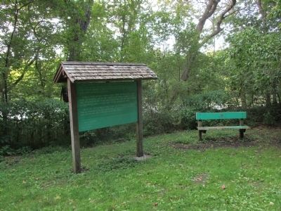
The Youghiogheny River is behind the marker.
behind the store. Marker is within the township of Dunbar.
 
Also see . . .
1. River's Edge KOA Camp - bike trail information. (Submitted on August 30, 2014, by Anton Schwarzmueller of Wilson, New York.)
2. Great Allegheny Trail. (Submitted on August 30, 2014, by Anton Schwarzmueller of Wilson, New York.)
3. Yough River Trail Council. Includes pictures of the Connellsville trailhead behind Martin's grocery store. (Submitted on August 30, 2014, by Anton Schwarzmueller of Wilson, New York.) 

4. Beehive Oven - Wikipedia. (Submitted on August 30, 2014, by Anton Schwarzmueller of Wilson, New York.)
 
The Remains of the Beehive Coke Ovens Marker image. Click for full size.
Photographed By Anton Schwarzmueller, August 24, 2014
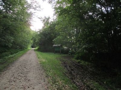
3. The Remains of the Beehive Coke Ovens Marker
Westbound from Adelaide and Connellsville; marker is on the right.
The Remains of the Beehive Coke Ovens Marker image. Click for full size.
Photographed By Anton Schwarzmueller, August 24, 2014
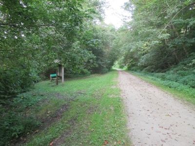
4. The Remains of the Beehive Coke Ovens Marker
Eastbound
Coke Ovens Marker image. Click for full size.
Photographed By Anton Schwarzmueller, August 24, 2014
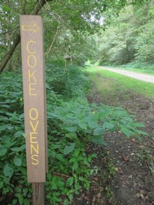
5. Coke Ovens Marker
This post is a few yards west of the marker.
The Remains of the Beehive Coke Ovens Marker and Railroad Milepost image. Click for full size.
Photographed By Anton Schwarzmueller, August 24, 2014
6. The Remains of the Beehive Coke Ovens Marker and Railroad Milepost
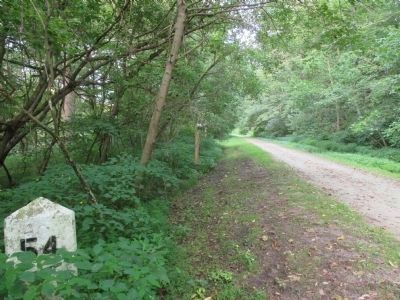
And a few more steps west is railroad milepost 54. In this eastward view, the brown "Coke Ovens" post is next in the background, and the back of the "Remains..." marker can be seen behind the "Coke Ovens" post.
The Remains of the Beehive Coke Ovens image. Click for full size.
Photographed By Anton Schwarzmueller, August 24, 2014
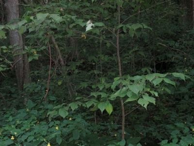
7. The Remains of the Beehive Coke Ovens
The view of the remains is quite obscured. The Boy Scouts had this cleared at one time.
 
 
Credits. This page was last revised on June 16, 2016. It was originally submitted on August 30, 2014, by Anton Schwarzmueller of Wilson, New York. This page has been viewed 700 times since then and 51 times this year. Photos:   1, 2, 3, 4, 5, 6, 7. submitted on August 30, 2014, by Anton Schwarzmueller of Wilson, New York. • Bill Pfingsten was the editor who published this page.
Share this page.  
Share on Tumblr
m=76694

CeraNet Cloud Computing sponsors the Historical Marker Database.
This website earns income from purchases you make after using our links to Amazon.com. We appreciate your support.
Paid Advertisement
Apr. 24, 2024