Harkers Island in Carteret County, North Carolina — The American South (South Atlantic)
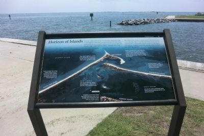
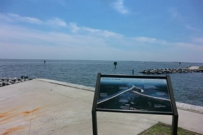
Horizon of Islands
Out on those barrier islands you quickly discover the park’s land is but a thin edge, much of it less than a few hundred yards wide. The experience there is dominated by what lies beyond: the wild Atlantic, with winds and longshore currents that constantly reshape the islands and the life that cling there.
(captions)
(left to right)
South Core Banks—one of Cape Lookout National Seashore’s three barrier islands—stretches for 20 miles. From where you are standing you can see only about one-quarter of it.
Core Sound is deceiving. Shallow and everchanging, it demands the right boat and an experienced pilot.
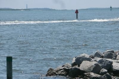
Competing currents here at Shell Point are a small-scale version of the dramatic island-shaping forces that occur out at Cape Lookout.
Distance to Shackleford Banks: 3 miles
Distance to Cape Lookout Lighthouse: 4.5 miles
Cape Lookout Lighthouse, a symbol of the enduring effort to guide ships through intense storms and shifting shoals, became operational in 1859.
Despite its dynamic nature, Cape Lookout has a long history of human settlement. There is much to explore, including the lighthouse Keeper’s Quarters, historic Coast Guard Station, and the surviving structures of the Cape Village Historic District.
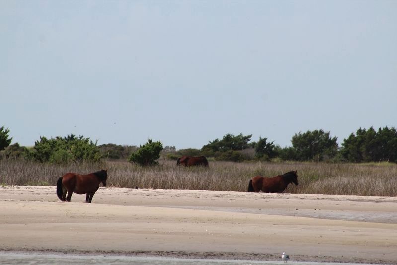
Shackleford Banks is a wider island, with dunes tall enough to shield a maritime forest where wild horses find shelter.
Back Sound’s waters, protected by barrier islands, provide breeding grounds for a rich array of marine life.
Erected by Cape Lookout National Seashore.
Topics and series. This historical marker is listed in these topic lists: Environment • Waterways & Vessels. In addition, it is included in the Lighthouses series list. A significant historical year for this entry is 1859.
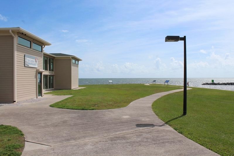
Location. 34° 41.118′ N, 76° 31.548′ W. Marker is on Harkers Island, North Carolina, in Carteret County. Marker can be reached from Island Road (County Route 1335) east of Cape Point Road, on the left when traveling east. The marker is on the grounds of the Cape Lookout National Seashore Visitor Center. Touch for map. Marker is in this post office area: Harkers Island NC 28531, United States of America. Touch for directions.
Other nearby markers. At least 8 other markers are within 2 miles of this marker, measured as the crow flies. Estuaries of the Sound (a few steps from this marker); Protecting People and Ships (within shouting distance of this marker); Olive Thurlow Anchor (within shouting distance of this marker); Harkers Island Visitor Center at Cape Lookout National Seashore (about 300 feet away, measured in a direct line); Fort Hancock (about 600 feet away); Rain Gardens (approx. 0.2 miles away); Cisterns (approx. 0.2 miles away); In Honor and Rememberance (approx. 1.6 miles away). Touch for a list and map of all markers in Harkers Island.
Also see . . . Cape Lookout National Seashore. National Park Service (Submitted on September 1, 2014.)
Credits. This page was last revised on December 28, 2022. It was originally submitted on August 31, 2014, by Don Morfe of Baltimore, Maryland. This page has been viewed 320 times since then and 14 times this year. Photos: 1, 2, 3, 4. submitted on August 31, 2014, by Don Morfe of Baltimore, Maryland. 5, 6. submitted on December 27, 2022, by Tom Bosse of Jefferson City, Tennessee. • Bernard Fisher was the editor who published this page.
