Marker Logo HMdb.org THE HISTORICAL
MARKER DATABASE
“Bite-Size Bits of Local, National, and Global History”
Rodanthe in Dare County, North Carolina — The American South (South Atlantic)
 

Chicamacomico Life-Saving Station


Chicamacomico Life-Saving Station Marker image. Click for full size.
Photographed By Don Morfe, August 12, 2014
1. Chicamacomico Life-Saving Station Marker
Inscription.
Historic Site & Museum
National Register of Historic Places

 
Topics. This historical marker is listed in this topic list: Waterways & Vessels.
 
Location. 35° 35.759′ N, 75° 28.034′ W. Marker is in Rodanthe, North Carolina, in Dare County. Marker is at the intersection of State Highway 12 and Myrna Peters Road, on the left when traveling south on State Highway 12. Touch for map. Marker is at or near this postal address: 23645 NC-12, Rodanthe NC 27968, United States of America. Touch for directions.
 
Other nearby markers. At least 8 other markers are within 9 miles of this marker, measured as the crow flies. Welcome to Rodanthe... (within shouting distance of this marker); "Mirlo" Rescue (within shouting distance of this marker); The Chicamacomico Races / Exodus from Chicamacomico (within shouting distance of this marker); a different marker also named Mirlo Rescue (approx. half a mile away); The Fanny (approx. 4.3 miles away); Charles Kuralt Trail (approx. 8.4 miles away); Fish & Wildlife Service (approx. 8˝ miles away); Gulls and Terns (approx. 8˝ miles away). Touch for a list and map of all markers in Rodanthe.
 
Also see . . .  Chicamacomico Life-Saving Station Historic Site & Museum. (Submitted on October 6, 2015.)
 
Paid Advertisement
Click on the ad for more information.
Please report objectionable advertising to the Editor.
Click or scan to see
this page online
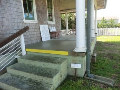
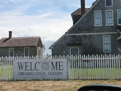
Welcome Chicamacomico Life-Saving Station image. Click for full size.
Photographed By Don Morfe, August 12, 2014
2. Welcome Chicamacomico Life-Saving Station
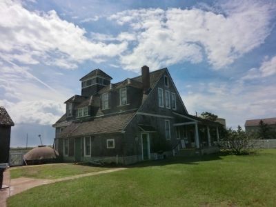
Chicamacomico Life-Saving Station-Side view image. Click for full size.
Photographed By Don Morfe, August 12, 2014
3. Chicamacomico Life-Saving Station-Side view
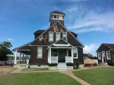
1911 Life-Saving Station-Early Coast Guard Station image. Click for full size.
Photographed By Don Morfe, August 12, 2014
4. 1911 Life-Saving Station-Early Coast Guard Station
Chicamacomico Life-Saving Station-U.S. Coast Guard Station image. Click for full size.
Photographed By Don Morfe, August 12, 2014
5. Chicamacomico Life-Saving Station-U.S. Coast Guard Station
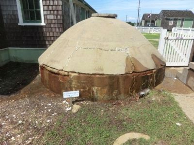
Chicamacomico Life-Saving Station-1911 Beehive Cystern image. Click for full size.
Photographed By Don Morfe, August 12, 2014
6. Chicamacomico Life-Saving Station-1911 Beehive Cystern
Chicamacomico Life-Saving Station-Rear area flooded image. Click for full size.
Photographed By Don Morfe, August 12, 2014
7. Chicamacomico Life-Saving Station-Rear area flooded
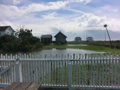
Chicamacomico Life-Saving Station Lawn image. Click for full size.
Photographed By Don Morfe, August 12, 2014
8. Chicamacomico Life-Saving Station Lawn
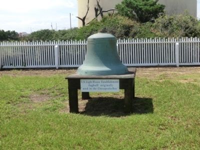
U.S. Light House Establishment fogbell originally used in the Chesapeake Bay
 
 
Credits. This page was last revised on June 16, 2016. It was originally submitted on September 1, 2014, by Don Morfe of Baltimore, Maryland. This page has been viewed 340 times since then and 17 times this year. Photos:   1, 2, 3, 4, 5, 6, 7, 8. submitted on September 1, 2014, by Don Morfe of Baltimore, Maryland. • Bernard Fisher was the editor who published this page.

Share this page.  
Share on Tumblr
m=76757

CeraNet Cloud Computing sponsors the Historical Marker Database.
This website earns income from purchases you make after using our links to Amazon.com. We appreciate your support.
Paid Advertisement
Apr. 25, 2024