Seminary Hill in Alexandria, Virginia — The American South (Mid-Atlantic)
Southwest Bastion
City of Alexandria, Virginia
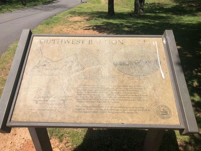
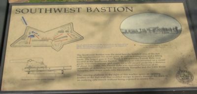
The Southwest Bastion was the most heavily fortified area of the fort with emplacements for seven guns, as well as a magazine and a filling room. The largest gun in Fort Ward, a 100-pounder Parrott Rifle, was located in the Southwest Bastion. This weapon was mounted on a center pintle (circular) carriage and could fire a 100-pound projectile a distance of about five miles. The Parrott Rifle was important because of its capability of defending both the Leesburg Turnpike and the Little River Turnpike, two major roads into Alexandria.
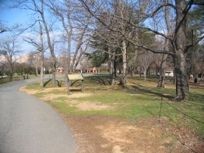
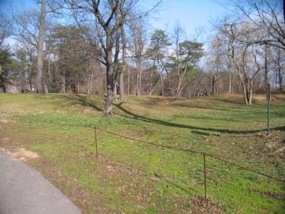
The viewing platform to the right of this marker spans an opening (outlet) in the fort wall that enabled troops to move through the ditch to an outlying rifle trench without being exposed to enemy fire.
Erected by City of Alexandria, Virginia.
Topics and series. This historical marker is listed in these topic lists: Forts and Castles • War, US Civil. In addition, it is included in the Defenses of Washington, and the Virginia, The City of Alexandria series lists.
Location. 38° 49.776′ N, 77° 6.206′ W. Marker has been reported damaged. Marker is in Alexandria, Virginia. It is in Seminary Hill. Marker can be reached from West Braddock Road, 0.2 miles west of Marlboro Drive, on the right when traveling west. Located in Fort Ward Community Park. Touch for map. Marker is at or near this postal address: 4301 West Braddock Road, Alexandria VA 22304, United States of America. Touch for directions.
Other nearby markers. At least 8 other markers are within walking distance of this location. Jackson Cemetery (within shouting distance of this marker); Fort Ward (about 300 feet away, measured in a direct line); Entrance Gate to Fort Ward/Officers' Hut (about 300 feet away); a different marker also named Fort Ward (about 300 feet away); Bombproof (about 400 feet away); a different marker also named Fort Ward (about 400 feet away); Powder Magazine and Filling Room (about 500 feet away); Northwest Bastion (about 500 feet away). Touch for a list and map of all markers in Alexandria.
More about this marker. The upper left of the marker face presents a engineering plan of the fort, with red arrows indicating the tour path, The Southwest Bastion is the last point on the tour of Fort Ward. The self-guided tour of this historic site begins at the Ceremonial Gate near the museum. The location of the Parrott gun platform, other gun emplacements, magazines, and the rifle trench are indicated in blue. Below the fort plan is a Diagram of a center pintle carriage. On the right is a photograph of the 1st Connecticut Heavy Artillery in the Southwest Bastion.
Also see . . . Fort Ward Historic Site. (Submitted on May 14, 2008, by Craig Swain of Leesburg, Virginia.)

Photographed By Devry Becker Jones (CC0), May 10, 2020
4. Southwest Bastion Marker
Unfortunately, the marker has experienced significant damage, most likely from the weather.
Credits. This page was last revised on January 27, 2023. It was originally submitted on May 9, 2008, by Craig Swain of Leesburg, Virginia. This page has been viewed 1,840 times since then and 16 times this year. Photos: 1, 2, 3. submitted on May 9, 2008, by Craig Swain of Leesburg, Virginia. 4. submitted on May 10, 2020, by Devry Becker Jones of Washington, District of Columbia.


