Near Pine Bluffs in Laramie County, Wyoming — The American West (Mountains)
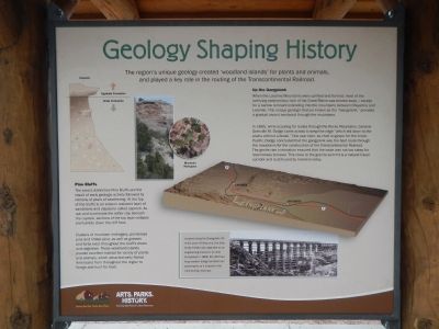
Geology Shaping History
Pine Bluffs
The area’s distinctive Pine Bluffs are the result of early geologic activity followed by millions of years of weathering. At the top of the bluffs is an erosion-resistant layer of sandstone and claystone called caprock. As rain and wind erode the softer clay beneath the caprock, sections of the top layer collapse and tumble down the cliff face.
Clusters of mountain mahogany, ponderosa pines and limber pine, as well as grasses and forbs exist throughout the bluff’s draws and ridge lines. These woodland islands provide excellent habitat for variety of plants and animals, which attracted Native Americans from throughout the region to forage and hunt for food.
Up the Gangplank
When the Laramie Mountains were uplifted and formed, most of the overlying sedimentary rock of the Great Plains was eroded away - except for a narrow remnant extending into the mountains between Cheyenne and Laramie. This unique geologic feature known as the “Gangplank,” provides a gradual ascent westward through the mountains.
In 1865, while scouting for routes through the Rocky Mountains, General Grenville M. Dodge came across a ramp-like ridge “which led down to the plains without a break.” One year later, as chief engineer for the Union Pacific, Dodge concluded that the gangplank was the best route through the mountains for the construction of the Transcontinental Railroad.The gentle rise in elevation ensured that the route was not too steep for locomotives to travel. This route to the granite summit is a natural travel corridor and is still used by travelers today.
side-bar at bottom, left
Located along the Gangplank 20 miles west of Cheyenne, the Dale Creek Trestle was regarded as an engineering marvel in its time. Completed in 1868, the 450 foot long wooden bridge terrified train passengers as it swayed in the wind during crossings.
Topics. This historical marker is listed in these topic lists: Natural Features • Railroads & Streetcars • Roads & Vehicles. A significant historical year for this entry is 1865.
Location. 41° 10.461′ N, 104° 4.505′ W. Marker is near Pine Bluffs, Wyoming, in Laramie County. Marker is at the intersection of Parson Street and Interstate 80, in the median on Parson Street. Touch for map. Marker is at or near this postal address: 701 Parson Street, Pine Bluffs WY 82082, United States of America. Touch for directions.
Other nearby markers. At least 3 other markers are within 12 miles of this marker, measured as the crow flies. Old Texas Trail (approx. 0.6 miles away); Panorama Point (approx. 11.7 miles away in Nebraska); Corner Common to Nebraska and Wyoming on the Colorado State Boundary (approx. 12 miles away in Colorado).
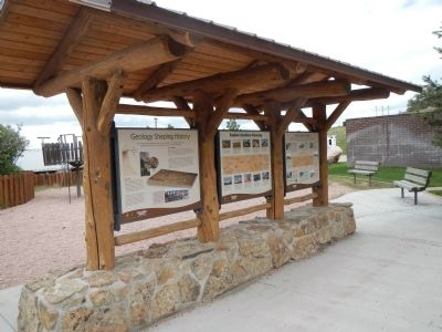
More about this marker. This marker is located in the Pine Bluff Roadside Rest off of Interstate 80.
Credits. This page was last revised on December 6, 2020. It was originally submitted on September 3, 2014, by Barry Swackhamer of Brentwood, California. This page has been viewed 638 times since then and 36 times this year. Photos: 1, 2. submitted on September 3, 2014, by Barry Swackhamer of Brentwood, California. • Andrew Ruppenstein was the editor who published this page.

