Sheldon in Franklin County, Vermont — The American Northeast (New England)
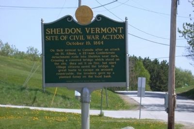
Sheldon, Vermont
Site of Civil War Action
— October 19, 1864 —
On their retreat to Canada after an attack on St. Albans, a 22-man Confederate detachment rode into Sheldon near dark. Crossing a covered bridge which stood on the site, they set it on fire, but alert village citizens saved the bridge. In great haste to escape an aroused countryside, the invaders gave up a planned foray on the local bank.
Erected 1991 by Vermont Division for Historic Preservation.
Topics. This historical marker is listed in these topic lists: Bridges & Viaducts • Military • War, US Civil. A significant historical date for this entry is October 19, 1864.
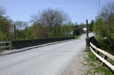
Location. 44° 52.901′ N, 72° 56.579′ W. Marker is in Sheldon, Vermont, in Franklin County. Marker is on Bridge Street, 0.2 miles east of Sheldon Creek Road (Local Road 4), on the left when traveling east. The former covered bridge is now concrete. It crosses Black Creek, a tributary of the Missisquoi River. The raiders had tried to fire a hay wagon on the bridge using "Greek Fire," but a minister who served a nearby church put it out with buckets of water. Touch for map. Marker is in this post office area: Sheldon VT 05483, United States of America. Touch for directions.
Other nearby markers. At least 8 other markers are within 8 miles of this marker, measured as the crow flies. Colonel Elisha Sheldon (approx. ¼ mile away); Fenian Raids (approx. 1.4 miles away); Chester A. Arthur (approx. 5.1 miles away); a different marker also named Chester A. Arthur (approx. 5½ miles away); Consuelo Northrop Bailey (approx. 5.7 miles away); Highgate Falls Lenticular Truss Bridge (approx. 6.3 miles away); Birthplace of Larry Gardner (approx. 7 miles away); Patent Medicine in Enosburg Falls (approx. 7.1 miles away).
Related marker. Click here for another marker that is related to this marker. To better understand the relationship, study each marker in the order shown.
Also see . . . Sheldon Covered Bridge. Photographs and Information on the Black Creek Covered Bridge. (Submitted on September 4, 2014, by David Graff of Halifax, Nova Scotia.)
Additional keywords. St. Albans Raid
Credits. This page was last revised on August 29, 2016. It was originally submitted on May 9, 2011. This page has been viewed 1,328 times since then and 31 times this year. Last updated on September 4, 2014, by David Graff of Halifax, Nova Scotia. Photos: 1, 2. submitted on May 9, 2011. • Bill Pfingsten was the editor who published this page.

