Montgomery in Fayette County, West Virginia — The American South (Appalachia)
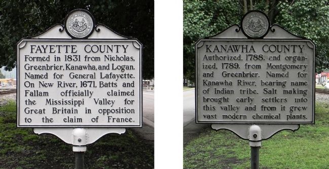
Fayette County / Kanawha County
Topics and series. This historical marker is listed in this topic list: Political Subdivisions. In addition, it is included in the West Virginia Archives and History series list. A significant historical year for this entry is 1831.
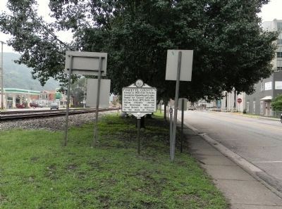
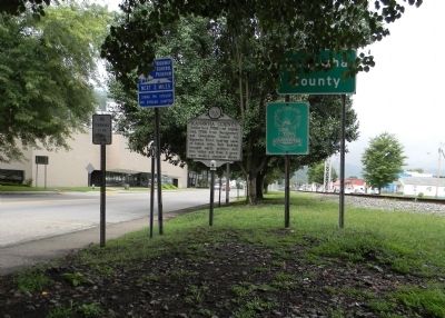
Location. 38° 10.825′ N, 81° 19.736′ W. Marker is in Montgomery, West Virginia, in Fayette County. Marker is on Fayette Pike West (West Virginia Route 61) 0.1 miles east of Jackson Street, on the left when traveling east. Touch for map. Marker is in this post office area: Montgomery WV 25136, United States of America. Touch for directions.
Other nearby markers. At least 8 other markers are within 5 miles of this marker, measured as the crow flies. West Virginia Institute of Technology (approx. 0.2 miles away); Montgomery (approx. 0.3 miles away); Christopher H. Payne (approx. half a mile away); a different marker also named Montgomery (approx. 0.6 miles away); Ancient Works (approx. 3.4 miles away); Bull Moose Special (approx. 3.7 miles away); Holly Grove “Bull Moose Special” (approx. 3.7 miles away); Mucklow / Gallagher, WV (approx. 4˝ miles away). Touch for a list and map of all markers in Montgomery.
Also see . . .
1. e-WV | Fayette County. (Submitted on September 6, 2014, by PaulwC3 of Northern, Virginia.)
2. e-WV | Kanawha County. (Submitted on September 6, 2014, by PaulwC3 of Northern, Virginia.)
Credits. This page was last revised on June 8, 2020. It was originally submitted on September 6, 2014, by PaulwC3 of Northern, Virginia. This page has been viewed 500 times since then and 19 times this year. Photos: 1, 2, 3. submitted on September 6, 2014, by PaulwC3 of Northern, Virginia.


