Near La Porte in LaPorte County, Indiana — The American Midwest (Great Lakes)
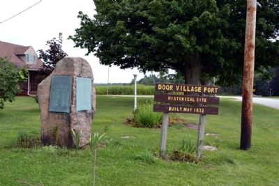
Door Village Fort
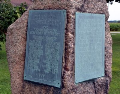
(Left Tablet)
Here
places the names of the
men who built the stockade:
A.P. Andrews, Jr. - Commander -
Peter White - Captain -
William Adams Elijah Brown Daniel Carpenter Jacob Coleman Samuel Harmison, Sr. Samuel Harmison, Jr. Isaac Harmison Arba Heald Daniel Jessup John S. Jessup Adam Keith Hugh McGibbon Roswell Munsell John Morgan Jesse Morgan Daniel Osborn Pitman Osborn Almon Osborn Absalom Rambo Edwin Rambo Lewis Shirley William Thomas John Thomas Samuel Thomas John White Robert White
1909
(Right Tablet)
On this spot a fort-stockade was built to defend the lives of the pioneers of La Porte Prairie from a threatened invasion by Black Hawk and his braves in the spring of 1832. Warning of the danger was brought by John Coleman who rode his Indian pony Musquog from Ft. Dearborn to this place in six hours.
Erected 1909 by LaPorte Historical Society.
Topics. This historical marker is listed in these topic lists: Forts and Castles • Settlements & Settlers • Wars, US Indian. A significant historical year for this entry is 1909.
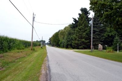
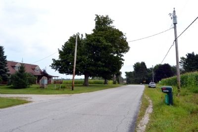
Location. 41° 34.577′ N, 86° 45.6′ W. Marker is near La Porte, Indiana, in LaPorte County. Marker is on W. Joliet Road west of Long Lane, on the right when traveling west. Touch for map. Marker is in this post office area: La Porte IN 46350, United States of America. Touch for directions.
Other nearby markers. At least 8 other markers are within 3 miles of this marker, measured as the crow flies. Door Village School (approx. half a mile away); Chicago - New York Electric Air Line Railroad (approx. 1.3 miles away); Civil War Camps (approx. 2 miles away); Indian Boundary Line (approx. 3 miles away); Site of Meinrad Rumely's Blacksmith Shop (approx. 3 miles away); The Rumely Companies (approx. 3 miles away); Meinrad Rumely (approx. 3 miles away); LaPorte's Carnegie Library (approx. 3 miles away). Touch for a list and map of all markers in La Porte.
More about this marker. At the bottom of the right tablet is inscribed "Done at Interlaken School" and the name "Otto Ziegler".
Credits. This page was last revised on June 16, 2016. It was originally submitted on September 12, 2014, by Duane Hall of Abilene, Texas. This page has been viewed 748 times since then and 57 times this year. Photos: 1, 2, 3, 4. submitted on September 12, 2014, by Duane Hall of Abilene, Texas.


