Near Porter in Porter County, Indiana — The American Midwest (Great Lakes)
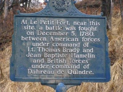
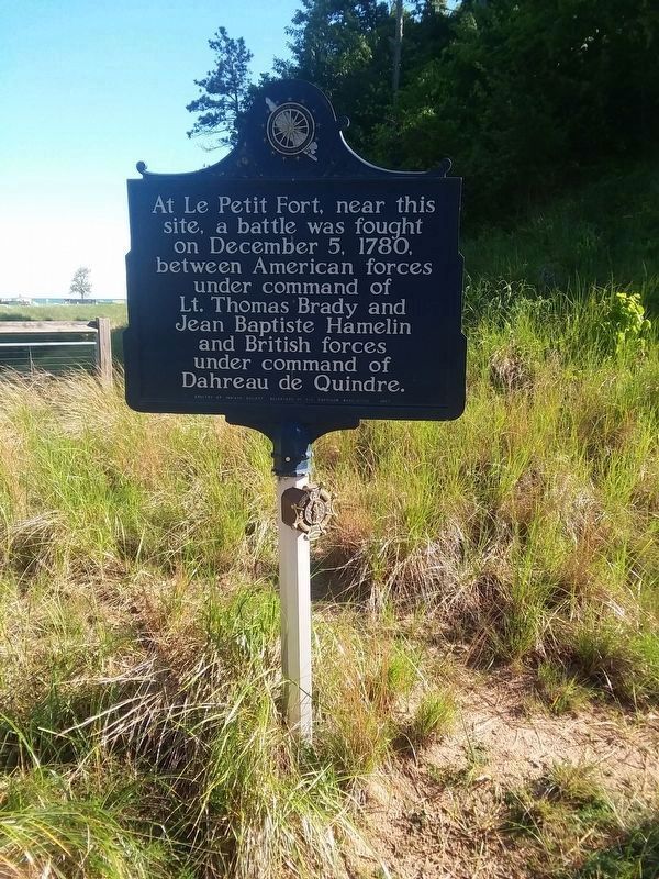
Le Petit Fort
Erected 1957 by Indiana Society, Daughters of the American Revolution.
Topics and series. This historical marker is listed in these topic lists: Forts and Castles • War, US Revolutionary. In addition, it is included in the Daughters of the American Revolution series list. A significant historical date for this entry is December 5, 1780.
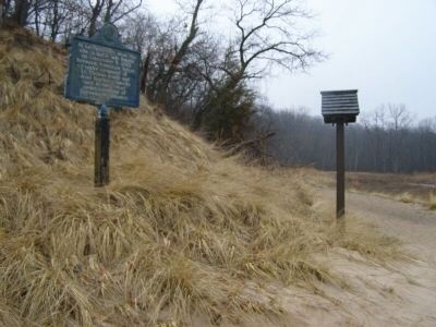
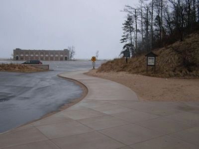
Location. 41° 39.645′ N, 87° 3.748′ W. Marker is near Porter, Indiana, in Porter County. Marker is on County Road N 25 E north of Dunes Highway (U.S. 12), on the right when traveling north. This marker is located at the entrance to the main parking lot inside the Indiana Dunes State Park. In the summer, there is a fee to enter the park and parking in this lot may be full on weekends during the summer. Touch for map. Marker is in this post office area: Chesterton IN 46304, United States of America. Touch for directions.
Other nearby markers. At least 8 other markers are within 3 miles of this marker, measured as the crow flies. "Squall Causes Lake Disaster" (about 500 feet away, measured in a direct line); Dune Creek Watershed: What Makes It Special? (about 600 feet away); The J.D. Marshall (approx. 0.6 miles away); Dunes Hi-Way (approx. 1.2 miles away); Cowles Bog (approx. 1.4 miles away); Indiana State Police Dunes Park Post #1 (approx. 1.7 miles away); Iron Brigade (approx. 1.8 miles away); Edwin Way Teale (approx. 2.7 miles away). Touch for a list and map of all markers in Porter.
Also see . . .
1. Wikipedia entry for Petit Fort. (Submitted on May 18, 2008.)
2. A History of the Actual le Petit Fort. From the website of the historical re-creation group Les Habitants du Petit Fort. (Submitted on July 23, 2014, by Duane Hall of Abilene, Texas.)
Additional commentary.
1. Name of the Commander of British Forces
The Commander of British forces mentioned on the marker is Dagneau de Quindre, not Dahreau de Quindre. He was a son of Louis-Cesaire Dagneau de Quindre, also of the Detroit area. As for first name, it might be Pierre Louis (1740-1799) since he died in Indiana at Vincennes and was in the area at the time. (See p. 183 of "Histoire des Canadiens du Michigan et du Compte d'Essex, Ontario", by Theophile Saint-Pierre. This was originally
published in 1895 but reprinted by the British Library.)
Editor's note: Additional sources also point to his name as Guillaume-François Dagneau de Quindre de La Picanier.
— Submitted January 18, 2024, by Cecilia Mikalac of Marlborough, Massachusetts.
Credits. This page was last revised on February 17, 2024. It was originally submitted on May 16, 2008, by Christopher Light of Valparaiso, Indiana. This page has been viewed 2,263 times since then and 72 times this year. Last updated on September 21, 2022, by Daniel Barriball of Chesterton, Indiana. Photos: 1. submitted on May 16, 2008, by Christopher Light of Valparaiso, Indiana. 2. submitted on December 2, 2020, by Craig Doda of Napoleon, Ohio. 3, 4. submitted on May 16, 2008, by Christopher Light of Valparaiso, Indiana. 5. submitted on December 2, 2020, by Craig Doda of Napoleon, Ohio. • Devry Becker Jones was the editor who published this page.
