Carrollton in Carroll County, Kentucky — The American South (East South Central)
Scott's Blockhouse
The Anchor Point of the Greenville Treaty Line
— The Mouth of the Kentucky River —
Inscription.
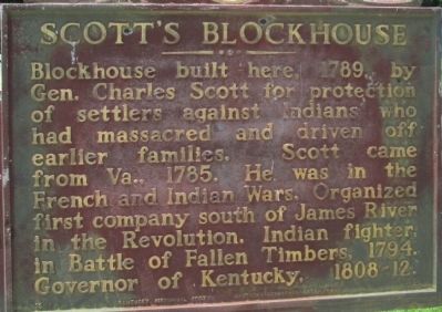
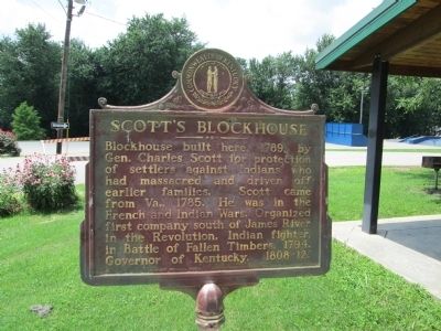
Blockhouse built here, 1789, by
Gen. Charles Scott for protection
of settlers against Indians who
had massacred and driven off
earlier families. Scott came
from Va., 1785. He was in the
French and Indian Wars. Organized
first company south of James River
in the Revolution. Indian fighter,
in Battle of Fallen Timbers, 1794.
Governor of Kentucky, 1808- 12.
Erected 1994 by Kentucky Historical Society, Kentucky Department of Highways. (Marker Number 1094.)
Topics and series. This historical marker is listed in this topic list: Settlements & Settlers. In addition, it is included in the Kentucky Historical Society series list. A significant historical year for this entry is 1789.
Location. 38° 40.917′ N, 85° 11.209′ W. Marker is in Carrollton, Kentucky, in Carroll County. Marker is on Main Street, on the right when traveling west. marker is in Point Park, at the west end of Main Street at the Kentucky River. Marker is front of a large shelter house,. Touch for map. Marker is in this post office area: Carrollton KY 41008, United States of America. Touch for directions.
Other nearby markers. At least 8 other markers are within 2 miles of this marker, measured as the crow flies. Old Ky. River Toll Bridge (about 600 feet away, measured in a direct line); First Explored (about 600 feet away); Korea & Vietnam - - War Memorial of Carroll County Kentucky (approx. 0.3 miles away); World War I & World War II Memorial (approx. 0.4 miles away); Home of Gen. Butler (approx. 0.4 miles away); Col. Percival Pierce Butler (approx. 1.4 miles away); General William Orlando Butler (approx. 1.4 miles away); Carrollton (approx. 1˝ miles away). Touch for a list and map of all markers in Carrollton.
More about this marker. by the text of the Treaty of Greenville, the Line is extended from Fort Recovery to a point on the Ohio River, opposite the mouth of the Kentucky River. This would have been understood by persons on the frontier to be Scott's Blockhouse. The running of this portion of the treaty Line created the wedge of land in Indiana known as the "Gore"
Additional keywords. Greenville Treaty Line
Photographed By Rev. Ronald Irick, July 20, 2012
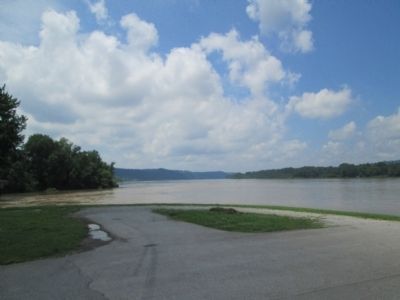
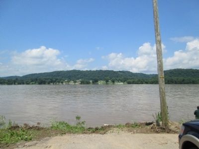
3. the Ohio River, at the mouth of the Kentucky River
on the far shore would be the "point on the Ohio River opposite the mouth of the Kentucky River". This would be the south west terminus of the Greenville Treaty Line. The Line began at the mouth of the Cuyahoga, on Lake Erie, and ends here. To the right is the south end of the "Gore"
Credits. This page was last revised on October 21, 2020. It was originally submitted on September 21, 2014, by Rev. Ronald Irick of West Liberty, Ohio. This page has been viewed 829 times since then and 32 times this year. Photos: 1, 2, 3, 4, 5. submitted on September 21, 2014, by Rev. Ronald Irick of West Liberty, Ohio. • Al Wolf was the editor who published this page.
