Banner Elk in Avery County, North Carolina — The American South (South Atlantic)
Banner Elk
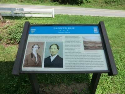
Unionist Haven
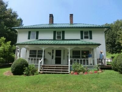
Lewis B. Banner, a slave owner, was a Unionist with three sons in the Federal army. He frequently provided food and shelter for escapees while they waited for their guides. Bannerís son Samuel H. Banner, a member of the 5th Ohio Infantry, built this house after his discharge in February 1864. The laurel thicket by the river was known as the Land of Goshen and served as a hiding place for escapees and draft evaders.
In January 1865, a raid on the Confederate Home Guard camp along Cove Creek in Sugar Grove originated in Banner Elk. After capturing Co. B, 11th Battalion North Carolina Home Guard, the Union raiders returned to Banner Elk with a dozen prisoners. They spent the night nearby before sending the prisoners across the lines into Tennessee.
(captions)
(lower left) Samuel H. Banner; Lewis B. Banner
(upper right) Banner Elk, showing the Land of Goshen All photographs courtesy Banner House Museum
Major funding for this project was provided by the North Carolina Department of Transportation through the Transportation Enhancement Program of the Federal Transportation Efficiency Act for the 21st Century.
Erected by North Carolina Civil War Trails.
Topics and series. This historical marker is listed in this topic list: War, US Civil. In addition, it is included in the North Carolina Civil War Trails series list. A significant historical month for this entry is January 1865.
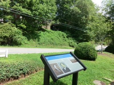
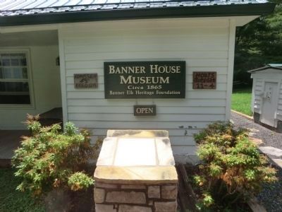
Location. 36° 9.391′ N, 81° 52.24′ W. Marker is in Banner Elk, North Carolina, in Avery County. Marker is on Hickory Nut Gap Road (County Route 1342) west of North Carolina Highway 184, on the left when traveling west. This marker is on the grounds of the Banner House Museum. Touch for map. Marker is at or near this postal address: 7990 Hickory Nut Gap Road, Banner Elk NC 28604, United States of America. Touch for directions.
Other nearby markers. At least 8 other markers are within 6 miles of this marker, measured as the crow flies. Shepherd M. Dugger (approx. half a mile away); Lees-McRae College (approx. half a mile away); Asa Gray (approx. 5.1 miles away); Andre Michaux (approx. 5.2 miles away); Cranberry Iron Mine (approx. 5.2 miles away); Cranberry Mines (approx. 5.2 miles away); Valle Crucis Episcopal Mission (approx. 5.3 miles away); Linn Cove Viaduct (approx. 5Ĺ miles away). Touch for a list and map of all markers in Banner Elk.
Related marker. Click here for another marker that is related to this marker. To better understand the relationship, study each marker in the order shown.
Also see . . . Banner House Museum. (Submitted on September 28, 2014.)
Credits. This page was last revised on April 17, 2017. It was originally submitted on September 28, 2014, by Don Morfe of Baltimore, Maryland. This page has been viewed 1,545 times since then and 122 times this year. Photos: 1, 2, 3, 4. submitted on September 28, 2014, by Don Morfe of Baltimore, Maryland. • Bernard Fisher was the editor who published this page.


