Coconut Grove in Miami-Dade County, Florida — The American South (South Atlantic)
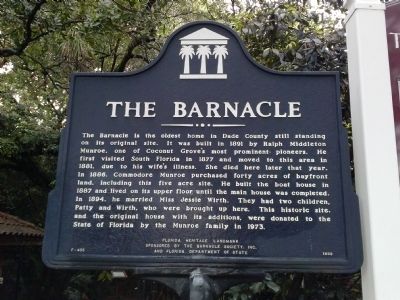
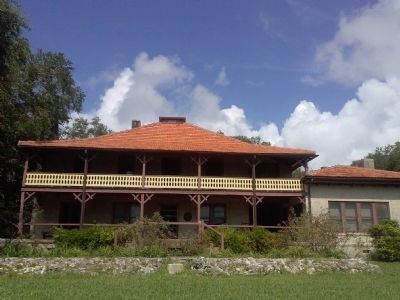
The Barnacle
Erected 1999 by Barnacle Society, Inc., and Florida Department of State. (Marker Number F-405.)
Topics. This historical marker is listed in this topic list: Settlements & Settlers. A significant historical year for this entry is 1891.
Location. 25° 43.518′ N, 80° 14.552′ W. Marker is in Coconut Grove, Florida, in Miami-Dade County. Marker is at the intersection of Main Highway and Via Abitare Way, on the right when traveling north on Main Highway. Located in Barnacle Historic State Park. Touch for map. Marker is at or near this postal address: 3485 Main Highway, Miami FL 33133, United States of America. Touch for directions.
Other nearby markers. At least 8 other markers are within walking distance of this marker. Coconut Grove Playhouse (about 700 feet away, measured in a direct line); Coconut Grove Library (approx. 0.2 miles away); a different marker also named The Coconut Grove Library (approx. 0.2 miles away); E.W.F. Stirrup House (approx. 0.2 miles away); Charles Avenue (approx. 0.2 miles away); Housekeepers-Womans Club of Coconut Grove (approx. 0.2 miles away); Housekeepers Club (approx. 0.2 miles away); Ransom School (approx. 0.2 miles away). Touch for a list and map of all markers in Coconut Grove.
Photographed By Marsha A. Matson, September 28, 2014
7. Barnacle Boathouse Marker - Hurricane Proof?
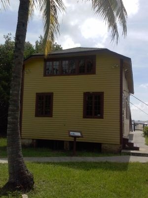
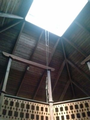
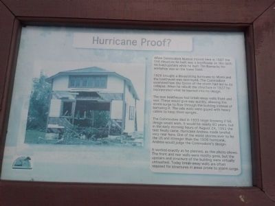
When Commodore Munroe moved here in 1887, the first structure he built was a boathouse on this spot. He lived upstairs while he built The Barnacle; his workshop was on the lower level. 1926 brought a devastating hurricane to Miami and the boathouse was destroyed. The Commodore examined how the forces of the storm had led to its collapse. When he rebuilt the structure in 1927 he incorporated what he learned into its design. The new boathouse had break-away walls front and rear. These would give way quickly, allowing the storm surge to flow through the building instead of battering it. The side walls were guyed with heavy cables to keep them upright. The Commodore died in 1933 never knowing if his design would work. It would be nearly 60 years, but in the early morning hours of August 24, 1992 the test finally came. Hurricane Andrew made landfall very near here. One of the worse storms ever to hit the US and stronger than the 1926 hurricane, Andrew would judge the Commodore's design. It worked exactly as he planned, as this photo shows. The front and rear walls were mostly gone but the upstairs and structure of the building were virtually untouched. Today break-away walls are often required for structures in areas prone to storm surge.
Photographed By Marsha A. Matson, September 28, 2014
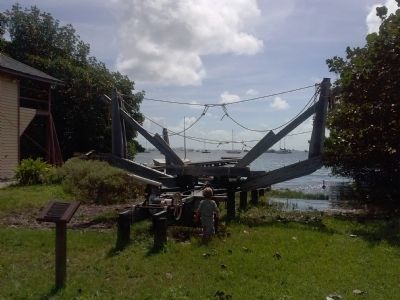
9. Railway To Nowhere Marker
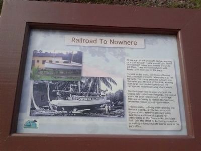
At the start of the twentieth century working on a boat in South Florida was difficult. There were no boat ramps, boat trailers or cars to pull them. There were no boatyards with hoists to lift boats out of the water. To work on his boats, Commodore Munroe built a number of marine railways here at The Barnacle. The tracks extended outward into the water past the end of the dock, allowing even large boats to be floated onto the carriage and hauled out using a hand winch. The track seen here is a reproduction; the original rails rusted away long ago. The original winch has been restored and is in storage. Plans are underway to restore the track and return the railway to working condition.
Photographed By Marsha A. Matson, September 28, 2014
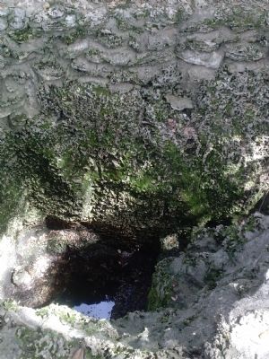
10. Mystery Hole Marker
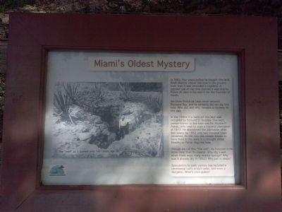
In 1882, four years before he bought this land, Ralph Munroe visited this hole in the ground. Even then it was shrouded in mystery. A popular tale of the time claimed it was dug by Ponce de Leon in his search for the Fountain of Youth. We know Ponce de Leon never entered Biscayne Bay, and he certainly did not dig this hole. Who did, and why, remains a mystery to this day. In the 1840s it is believed this land was occupied by Edmund D. Beasley. The next person known to live here was Dr. Horace P. Porter, who tried to start a coconut plantation in 1872. He abandoned the plantation after two years; by 1882 only two coconut trees remained. As the only two people known to have lived in this area, it is thought either Beasley or Porter dug this hole. Though we call this "the well," its function is no more clear than its creator. Why dig a well when there were many nearby springs? Why was it already dry in 1882? Why put in steps? Speculation by park visitors has included a ceremonial bath, a root cellar, and even a dungeon. What's your guess?
Credits. This page was last revised on March 21, 2023. It was originally submitted on September 28, 2014, by Marsha A. Matson of Palmetto Bay, Florida. This page has been viewed 594 times since then and 45 times this year. Photos: 1, 2, 3, 4, 5, 6, 7, 8, 9, 10, 11. submitted on September 28, 2014, by Marsha A. Matson of Palmetto Bay, Florida. • Bernard Fisher was the editor who published this page.
Editor’s want-list for this marker. A wide view photo of the marker and the surrounding area together in context. • Can you help?
