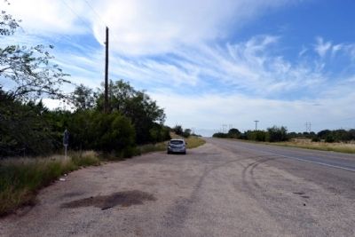
Near Blackwell in Coke County, Texas — The American South (West South Central)
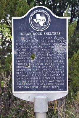
Indian Rock Shelters
Erected 1970 by State Historical Survey Committee. (Marker Number 2637.)
Topics. This historical marker is listed in these topic lists: Anthropology & Archaeology • Native Americans.
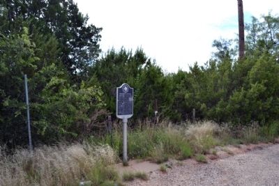
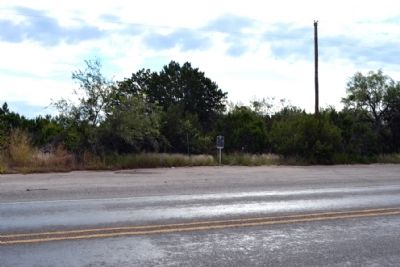
Location. 32° 0.185′ N, 100° 16.537′ W. Marker is near Blackwell, Texas, in Coke County. Marker is on U.S. 277, 0.2 miles south of McDonald Road, on the right when traveling north. Touch for map. Marker is in this post office area: Bronte TX 76933, United States of America. Touch for directions.
Other nearby markers. At least 8 other markers are within 9 miles of this marker, measured as the crow flies. Southern Overland Mail, 1858-1861 (approx. 0.9 miles away); Route of the Southern Overland Mail Line (approx. 3.4 miles away); Fort Chadbourne (approx. 3.4 miles away); James Franklin Byrd (approx. 7.7 miles away); Hayrick (approx. 7.8 miles away); Bronte Veterans Memorial (approx. 8.1 miles away); Bronte Depot (approx. 8.1 miles away); Fort Chadbourne C.S.A. / Texas Civil War Frontier Defense (approx. 8.1 miles away). Touch for a list and map of all markers in Blackwell.
Additional commentary.
1. Picture-Writing of Texas Indians in Coke County
Site No. 151
Located in a sandstone ledge, along a stream in the northeast corner of the county, is a small shelter that has some petroglyphs and abrading marks on its wall and roof. The shelter, which faces north, measures 13x11x8 feet.
The midden deposit at this site was excavated and report thereon published by E.B. Sayles (Sayles, E.B. A Rock Shelter in Coke County, Texas. Archaeological and Paleontological Society, Abilene, September, 1930, Vol. II, pp. 33-40, Pls. 4 and 5). Reference is made to that report for further details.
Some of the lines have rounded bottoms about the size of the forefinger. Their depth varies from
½ to 3/4 of an inch. Other lines, narrower and shallower, apparently were carved with a sharp implement.
The fact that the shelter is located near an old army post---established in 1852 and abandoned in 1867---and that glass was found in the upper level of the midden deposit, does not prove that the petroglyphs are historic. They show no evidence of white contact, or modification; neither do the lower levels of the midden deposit. It seems, therefore, that the abrading marks and carvings are prehistoric.”
Source (Public Domain): Jackson, A.T. “Picture-Writing of Texas Indians.” The University of Texas Publication. March 1, 1938: 286.
— Submitted October 1, 2014, by Duane Hall of Abilene, Texas.
Credits. This page was last revised on November 2, 2020. It was originally submitted on October 1, 2014, by Duane Hall of Abilene, Texas. This page has been viewed 1,160 times since then and 102 times this year. Photos: 1, 2, 3, 4, 5. submitted on October 1, 2014, by Duane Hall of Abilene, Texas.
