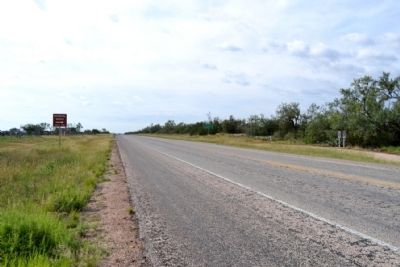
Near Tennyson in Coke County, Texas — The American South (West South Central)
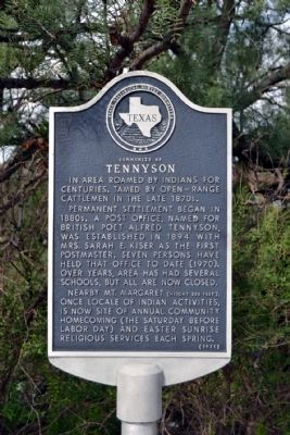
Community of Tennyson
Permanent settlement began in 1880s. A post office, named for British poet Alfred Tennyson, was established in 1894 with Mrs. Sarah E. Kiser as the first postmaster. Seven persons have held that office to date (1970). Over years, area has had several schools, but all are now closed.
Nearby Mt. Margaret (height 335 feet), once locale of Indian activities, is now site of annual community homecoming (the Saturday before Labor Day) and Easter sunrise religious services each spring.
Erected 1971 by State Historical Survey Committee. (Marker Number 5225.)
Topics. This historical marker is listed in this topic list: Settlements & Settlers. A significant historical year for this entry is 1894.
Location. 31° 44.822′ N, 100° 17.18′ W. Marker is near Tennyson, Texas, in Coke County. Marker is on U.S. 277, 0.1 miles south of Farm to Market Road 2333, on the right when traveling south. Touch for map. Marker is in this post office area: San Angelo TX 76905, United States of America. Touch for directions.
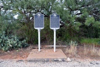
Other nearby markers. At least 8 other markers are within 10 miles of this marker, measured as the crow flies. Mule Creek Cemetery (here, next to this marker); W.H. Brown (approx. 7.6 miles away); Maverick (approx. 8 miles away); Bronte (approx. 9.3 miles away); First Baptist Church (approx. 9˝ miles away); First Methodist Church (approx. 9˝ miles away); Fort Chadbourne C.S.A. / Texas Civil War Frontier Defense (approx. 9.7 miles away); Bronte Depot (approx. 9.7 miles away).
Credits. This page was last revised on November 2, 2020. It was originally submitted on October 1, 2014, by Duane Hall of Abilene, Texas. This page has been viewed 563 times since then and 62 times this year. Photos: 1, 2, 3, 4, 5. submitted on October 1, 2014, by Duane Hall of Abilene, Texas.
