Near Anna in Shelby County, Ohio — The American Midwest (Great Lakes)
Rumley
An African American Settlement in Rural Shelby County, Ohio
Inscription.
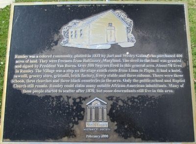
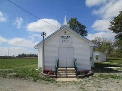
Rumley was a colored community, platted in 1837 by Joel and Wesley Goins, who purchased 400 acres of land. They were freemen from Baltimore, Maryland. The deed to the land was granted and signed by President Van Buren. Over 500 Negroes lived in this general area. About 50 lived in Rumley. The Village was stop on the stage coach route from Lima to Piqua. It had a hotel, sawmill, grocery store, gristmill, brick factory, livery stable and three saloons. There were three schools, three churches, and three black cemeteries in the area. Only the public school and Baptist Church still remain. Rumley could claim many notable African- American inhabitants. Many of these people started to scatter after 1870, but descendants still live in this area.
Erected 2000 by Shelby County Historical Society.
Topics and series. This historical marker is listed in these topic lists: African Americans • Settlements & Settlers. In addition, it is included in the Former U.S. Presidents: #08 Martin Van Buren series list. A significant historical year for this entry is 1837.
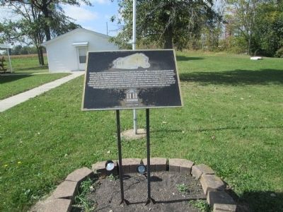
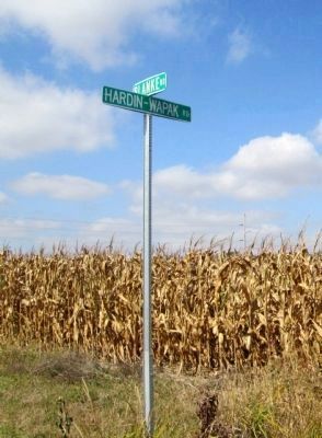
Location. 40° 24.874′ N, 84° 14.608′ W. Marker is near Anna, Ohio, in Shelby County. Marker is on Hardin- Wapak Road (County Route 20) ¼ mile south of Blanke Road (County Route 76), on the right when traveling south. south from St Rt 274 on Hardin- Wapak road (20) 1 ¾ miles. Touch for map. Marker is at or near this postal address: 14811 Hardin-Wapakoneta Rd, Anna OH 45302, United States of America. Touch for directions.
Other nearby markers. At least 8 other markers are within 5 miles of this marker, measured as the crow flies. Village of Rumley (a few steps from this marker); Wenger One Room School (approx. 1.7 miles away); Collins Cemetery (approx. 1.8 miles away); Lois Lenski (approx. 3.7 miles away); John W. Carey (approx. 3.8 miles away); St. Patrick Catholic Church (approx. 3.8 miles away); Shelby House (approx. 4.7 miles away); The Site of the St. Jacob Lutheran Church and Cemetery (approx. 4.8 miles away). Touch for a list and map of all markers in Anna.
More about this marker. or 1 ½ mile west of Wenger One Room School, then ¾ mile south on Hardin- Wapak road.
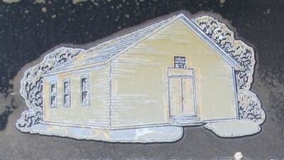
Regarding Rumley. this marker mentions the African- American school referred to on the Wenger One School marker
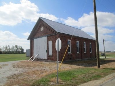
Photographed By Rev. Ronald Irick, October 1, 2014
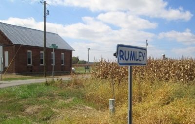
6. Old Rumley School
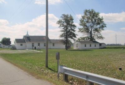
this is the school referenced on the Wenger One Room School Marker (4-75) It is of very similar construction, and of the same time period. This school is at the corner of Blanke Road and Hardin- Wapak Road, about a quarter mile north of the Church Yard and marker.
Credits. This page was last revised on June 16, 2016. It was originally submitted on October 3, 2014, by Rev. Ronald Irick of West Liberty, Ohio. This page has been viewed 938 times since then and 38 times this year. Photos: 1, 2, 3, 4, 5, 6, 7, 8, 9. submitted on October 3, 2014, by Rev. Ronald Irick of West Liberty, Ohio. • Al Wolf was the editor who published this page.
