Walnut Cove in Stokes County, North Carolina — The American South (South Atlantic)
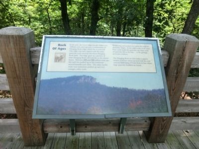
Rock of Ages
Hanging Rock State Park
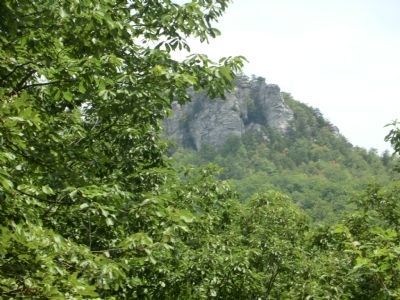
Weathering and erosion have given the ridge its distinctive shape. As the softer rocks crode away from underneath the quartzite cap, large rocks of quartzite fall to the base …as the geologic processes continue.
The Hanging Rock we view today is approximately 2150 feet above sea level with the rock outcrop itself rising 175 feet from the base where large quartzite boulders are found.
Erected by North Carolina State Parks.
Topics. This historical marker is listed in this topic list: Natural Features.
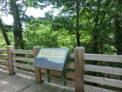
Location. 36° 23.664′ N, 80° 15.936′ W. Marker is in Walnut Cove, North Carolina, in Stokes County. Marker can be reached from Hanging Rock Park Road, 2 miles south of Moores Spring Road (County Route 1001), on the left when traveling south. The marker is located on the east side of the Hanging Rock State Park Visitor Center parking lot. Touch for map. Marker is at or near this postal address: 1790 Hanging Rock Park Road, Walnut Cove NC 27052, United States of America. Touch for directions.
Other nearby markers. At least 8 other markers are within 4 miles of this marker, measured as the crow flies. Mountains Away From The Mountains (about 300 feet away, measured in a direct line); Hanging Rock's High Flyers (about 400 feet away); Summertime and Life Goes On (about 400 feet away); Lewis David von Schweinitz (approx. 2˝ miles away); Moody Tavern (approx. 3˝ miles away); Stokes County Troops C.S.A (approx. 3˝ miles away); Stokes County World War I Monument (approx. 3˝ miles away); Stoneman’s Raid (approx. 3˝ miles away). Touch for a list and map of all markers in Walnut Cove.
Credits. This page was last revised on June 16, 2016. It was originally submitted on October 3, 2014, by Don Morfe of Baltimore, Maryland. This page has been viewed 346 times since then and 7 times this year. Photos: 1, 2, 3. submitted on October 3, 2014, by Don Morfe of Baltimore, Maryland. • Bernard Fisher was the editor who published this page.


