Near Lima in Allen County, Ohio — The American Midwest (Great Lakes)
Shawnee Council House
Headquarters of Shawnee Indian Reservation
Inscription.
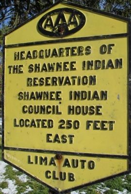
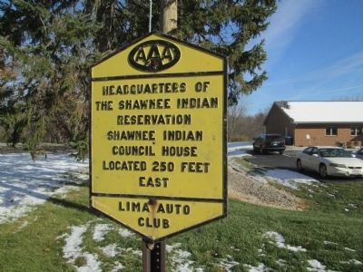
Headquarters of
the Shawnee Indian
Reservation
Shawnee Indian
Council House
located 250 feet
east
Erected by Lima Auto Club.
Topics. This historical marker is listed in these topic lists: Native Americans • Settlements & Settlers.
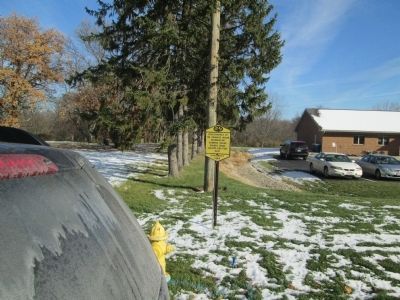
Location. 40° 42.062′ N, 84° 9.083′ W. Marker is near Lima, Ohio, in Allen County. Marker is on Shawnee Road, 0.1 miles north of Zimmehly Road, on the right when traveling north. Shawnee Road east side, 400 feet north of Zimmehly Road. Touch for map. Marker is at or near this postal address: 2650 Shawnee Rd, Lima OH 45806, United States of America. Touch for directions.
Other nearby markers. At least 8 other markers are within 2 miles of this marker, measured as the crow flies. In Memory of Chief P-H-T and the Hawg Creek Shawnee (within shouting distance of this marker); Johnny Appleseed Tree (approx. 0.9 miles away); Sharp School Bell (approx. 0.9 miles away); Veterans Freedom Flag Monument (approx. 1.2 miles away); a different marker also named Veterans Freedom Flag Monument (approx. 1.2 miles away); a different marker also named Veterans Freedom Flag Monument (approx. 1.2 miles away); a different marker also named Veterans Freedom Flag Monument (approx. 1.2 miles away); a different marker also named Veterans Freedom Flag Monument (approx. 1.2 miles away).
More about this marker. exit 120 off I-75, west on Breese Road, 1 mile to Shawnee Road,
turn right (north), marker is approximately ¾ mile north, on the right (east side)
past Zimmehly Road
this area was long known as “Fort Shawnee”, but the Village Council has dissolved
Credits. This page was last revised on December 13, 2019. It was originally submitted on October 3, 2014, by Rev. Ronald Irick of West Liberty, Ohio. This page has been viewed 1,217 times since then and 68 times this year. Photos: 1, 2, 3. submitted on October 3, 2014, by Rev. Ronald Irick of West Liberty, Ohio. • Al Wolf was the editor who published this page.


