Tuscola in Taylor County, Texas — The American South (West South Central)
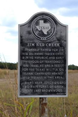
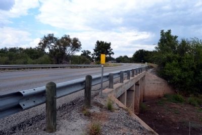
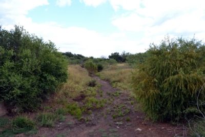
Jim Ned Creek
Probably named for Jim Ned, Delaware Indian chief. During Republic and early statehood of Texas (about 1840-1860), he was a scout for the Texas Militia on several campaigns against wild Indians in this area.
Dams near junction of two main forks of creek create Lake Brownwood.
Erected 1968 by State Historical Survey Committee. (Marker Number 2756.)
Topics. This historical marker is listed in these topic lists: Environment • Native Americans • Wars, US Indian.
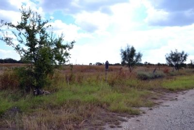
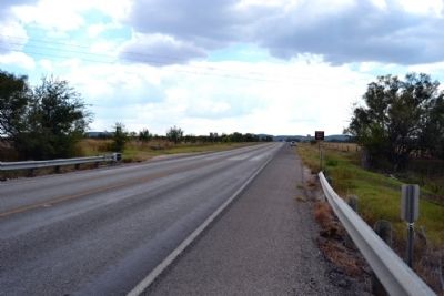
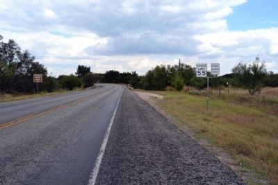
Location. 32° 12.128′ N, 99° 47.909′ W. Marker is in Tuscola, Texas, in Taylor County. Marker is on U.S. 83, 0.2 miles south of 1st Street, on the right when traveling north. Touch for map. Marker is in this post office area: Tuscola TX 79562, United States of America. Touch for directions.
Other nearby markers. At least 8 other markers are within 6 miles of this marker, measured as the crow flies. Cedar Gap Community (approx. 4.4 miles away); Buffalo Gap Cemetery (approx. 5.4 miles away); The Civilian Conservation Corps at Abilene State Park (approx. 5.4 miles away); Buffalo Gap College (approx. 5.7 miles away); Town of Buffalo Gap (approx. 5.7 miles away); Vicinity of Indian Fight (approx. 5.7 miles away); Taylor County (approx. 5.7 miles away); The Ernie Wilson Museum (approx. 6 miles away). Touch for a list and map of all markers in Tuscola.
Also see . . .
1. Jim Ned Creek. From the Texas State Historical Association’s “Handbook of Texas Online”. (Submitted on October 7, 2014.)
2. History of Jim Ned. From the Jim Ned Consolidated ISD website. (Submitted on October 7, 2014.)
Credits. This page was last revised on November 29, 2020. It was originally submitted on October 7, 2014, by Duane Hall of Abilene, Texas. This page has been viewed 1,373 times since then and 107 times this year. Photos: 1, 2, 3, 4, 5, 6. submitted on October 7, 2014, by Duane Hall of Abilene, Texas.
