Dale City in Prince William County, Virginia — The American South (Mid-Atlantic)
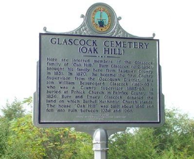
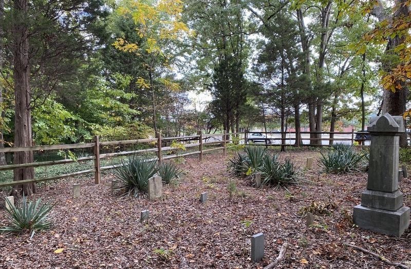
Glascock Cemetery
(Oak Hill)
Erected 2005 by the Prince William County Historical Commission.
Topics and series. This historical marker is listed in these topic lists: Cemeteries & Burial Sites • Settlements & Settlers. In addition, it is included in the Virginia, Prince William County Historical Commission series list. A significant historical year for this entry is 1851.
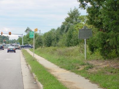
Location. 38° 39.185′ N, 77° 18.929′ W. Marker is in Dale City, Virginia, in Prince William County. Marker is on Minnieville Road (Local Route 640) north of Prince William Parkway (County Route 3000), on the right when traveling south. Touch for map. Marker is in this post office area: Woodbridge VA 22193, United States of America. Touch for directions.
Other nearby markers. At least 8 other markers are within 3 miles of this marker, measured as the crow flies. Russell House and Store (approx. ¼ mile away); Old Bethel Church (approx. 0.4 miles away); Old Bethel High School (approx. half a mile away); Old Telegraph Road (approx. 1½ miles away); Benita Fitzgerald Drive (approx. 1.8 miles away); Greenwood Presbyterian Church and Cemetery (approx. 1.9 miles away); William Grayson’s Grave (approx. 2.1 miles away); Woodbridge Airport (approx. 2.1 miles away). Touch for a list and map of all markers in Dale City.
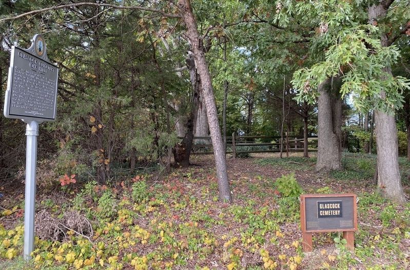
More about this marker. To reach the marker and cemetery, park at the First Baptist Church, just before (north of) the marker.
The Bethel Methodist Church mentioned in the marker is a few blocks north on Minnieville Road.
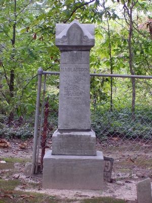
Photographed By J. J. Prats, September 24, 2006
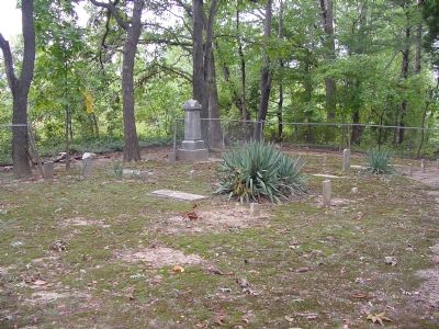
4. Glascock Monument
North face M.I. Glascock, July 7, 1849 – Oct. 23, 1928; Isabel L. Gulick, his wife, Oct. 22, 1843 – Mar. 18, 1923. West face Milton II, Feb. 17, 1883, Dec 15, 1918. East face Myrtle A., Jan 7, 1879–Jan 22, 1883; Jas. Henry, July 26, 1893; Ernest L., Jan. 28, 1877 – Apr. 12, 1914; Angelese A., daughter of B.A. & B. Glascock, Jan. 7, 1913 – Mar. 9, 1918.
Credits. This page was last revised on October 7, 2023. It was originally submitted on December 21, 2006, by J. J. Prats of Powell, Ohio. This page has been viewed 5,250 times since then and 215 times this year. Last updated on October 3, 2023, by N. Jozsa of Woodbridge, Virginia. Photos: 1, 2, 3, 4. submitted on December 21, 2006, by J. J. Prats of Powell, Ohio. 5, 6. submitted on December 19, 2021, by Shane Oliver of Richmond, Virginia. • Bill Pfingsten was the editor who published this page.
