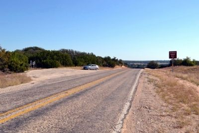
Near Novice in Runnels County, Texas — The American South (West South Central)
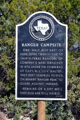
Ranger Campsite
One-half mile east of here, some twenty-five to thirty Texas Rangers of Company E were stationed in 1874, under the command of Capt. W.J. “Jeff” Maltby. They kept sentries posted on nearby “Ranger Peak” to guard against Indians.
Remains of a dry well they dug are still visible.
Erected 1970 by State Historical Survey Committee. (Marker Number 4195.)
Topics. This historical marker is listed in this topic list: Wars, US Indian. A significant historical year for this entry is 1874.
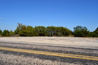
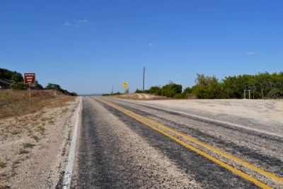
Location. 32° 2.339′ N, 99° 44.999′ W. Marker is near Novice, Texas, in Runnels County. Marker is on Farm to Market Road 382, 0.3 miles north of County Road 189, on the right when traveling north. Touch for map. Marker is in this post office area: Winters TX 79567, United States of America. Touch for directions.
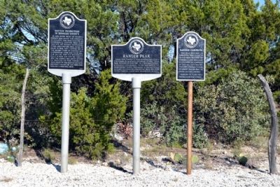
Other nearby markers. At least 8 other markers are within 12 miles of this marker, measured as the crow flies. Ranger Peak (here, next to this marker); Cotton Production in Runnels County (here, next to this marker); Counts Cemetery (approx. ¾ mile away); Old Townsite of Content (approx. 0.9 miles away); Atoka Cemetery (approx. 5½ miles away); Lawn Atlas ICBM Launch Site (Dyess S-6) (approx. 7.3 miles away); Crews (approx. 7.4 miles away); Jim Ned Creek (approx. 11.6 miles away). Touch for a list and map of all markers in Novice.
Credits. This page was last revised on November 28, 2020. It was originally submitted on October 24, 2014, by Duane Hall of Abilene, Texas. This page has been viewed 595 times since then and 18 times this year. Photos: 1, 2, 3, 4, 5. submitted on October 24, 2014, by Duane Hall of Abilene, Texas.
