Penn Valley in Nevada County, California — The American West (Pacific Coastal)
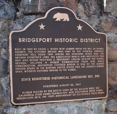
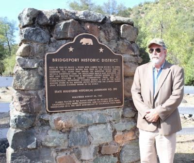
Bridgeport Historic District
Built in 1862 by David J. Wood with lumber from his mill in Sierra County, the covered bridge was part of the Virginia Turnpike Company toll road that served the northern mines and the Nevada Comstock Lode. The associated ranch and resources for rest and repair provided a necessary lifeline across the Sierra Nevada. Utilizing a unique combination truss and arch construction, Bridgeport Covered Bridge is one of the oldest housed spans in the western United States and the longest single span, wooden covered bridge in the world.
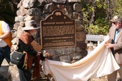
Erected 2014 by Native Sons of the Golden West, the California State Parks Foundation and California State Parks. (Marker Number 390.)
Topics and series. This historical marker is listed in this topic list: Bridges & Viaducts. In addition, it is included in the California Historical Landmarks, the Covered Bridges, and the Native Sons/Daughters of the Golden West series lists. A significant historical year for this entry is 1862.
Location. 39° 17.518′ N, 121° 11.706′ W. Marker is in Penn Valley, California, in Nevada County. Marker is on Pleasant Valley Road. Touch for map. Marker is in this post office area: Penn Valley CA 95946, United States of America. Touch for directions.
Other nearby markers. At least 8 other markers are within 6 miles of this marker, measured as the crow flies. Bridgeport (Nyes Crossing) Covered Bridge (here, next to this marker); Bridgeport Bridge (within shouting distance of this marker); a different marker also named Bridgeport Bridge (about 400 feet away, measured in a direct line); The First Long Distance Telephone (approx. 2 miles away); Jacob Van Blaren (approx. 3.8 miles away); Anthony House and Ranch (approx. 4 miles away); Rough and Ready (approx. 5.3 miles away); Fippin's Blacksmith Shop (approx. 5.3 miles away). Touch for a list and map of all markers in Penn Valley.
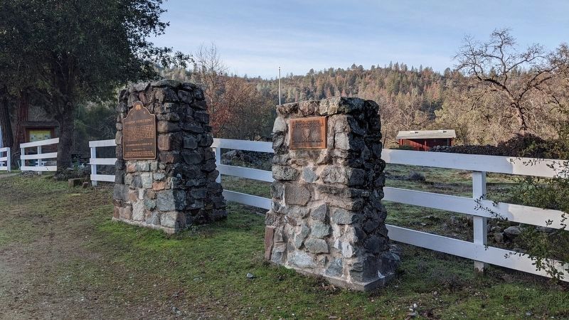
More about this marker. There are three markers for the bridge, two on the south end and one on the north end. See nearby markers for more information. This marker is a replacement for the one titled Bridgeport (Nyes Crossing) Covered Bridge.
Also see . . .
1. Bridgeport Historic District. The California State Office of Historic Preservation's application for historical landmark status for the Bridgeport Historic District. Includes a statement of significance, and explanation of the historic elements that make up the district, and photos. (Submitted on October 28, 2014.)
2. Bridgeport Covered Bridge, Nevada County, CA. Nevada County website entry:
One of the most beautiful bridges in Nevada County, if not in all of the Gold Country is the Bridgeport covered bridge on the South Fork of the Yuba River in the South Yuba River State Park... (Submitted on October 27, 2014, by James King of San Miguel, California.)
3. Bridgeport. The California Gold Country website entry:
The Bridgeport Covered Bridge is one of the longest single-span covered bridges in the country. Built by David Ingerfield John Wood in 1862, the bridge stretches 230 feet across the swift-flowing South Fork of the Yuba River, and was part of the Virginia Turnpike Company Toll Road that once served the Northern Mines and Nevada’s Comstock Lode. The bridge was constructed with native lumber from Woods’ mill in Plum Valley, in nearby Sierra County. The exterior of the bridge was finished with wood shingles... (Submitted on October 27, 2014, by James King of San Miguel, California.)
Photographed By Mike Kochis
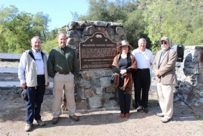
3. Dignitaries
From left to right:
Hank West, Nevada County Supervisor
Matt Green, Sector Superintendent, California State Parks
Amy Crain, California Office of Historic Preservation
David Anderson, South Yuba State Park, Association
David Allen, Past Grand President Native Sons of the Golden West
Hank West, Nevada County Supervisor
Matt Green, Sector Superintendent, California State Parks
Amy Crain, California Office of Historic Preservation
David Anderson, South Yuba State Park, Association
David Allen, Past Grand President Native Sons of the Golden West
Credits. This page was last revised on March 14, 2024. It was originally submitted on October 27, 2014, by James King of San Miguel, California. This page has been viewed 483 times since then and 19 times this year. Photos: 1, 2. submitted on October 27, 2014, by James King of San Miguel, California. 3, 4. submitted on October 28, 2014, by James King of San Miguel, California. 5. submitted on March 12, 2023, by Marc Belanger of Reno, Nevada. • Syd Whittle was the editor who published this page.
